


Center for Coastal & Marine Studies
Our joint peer-reviewed research paper on multi-use of the sea has been promoted in the European MSP Platform February 2022 Newsletter
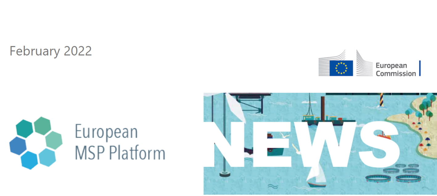
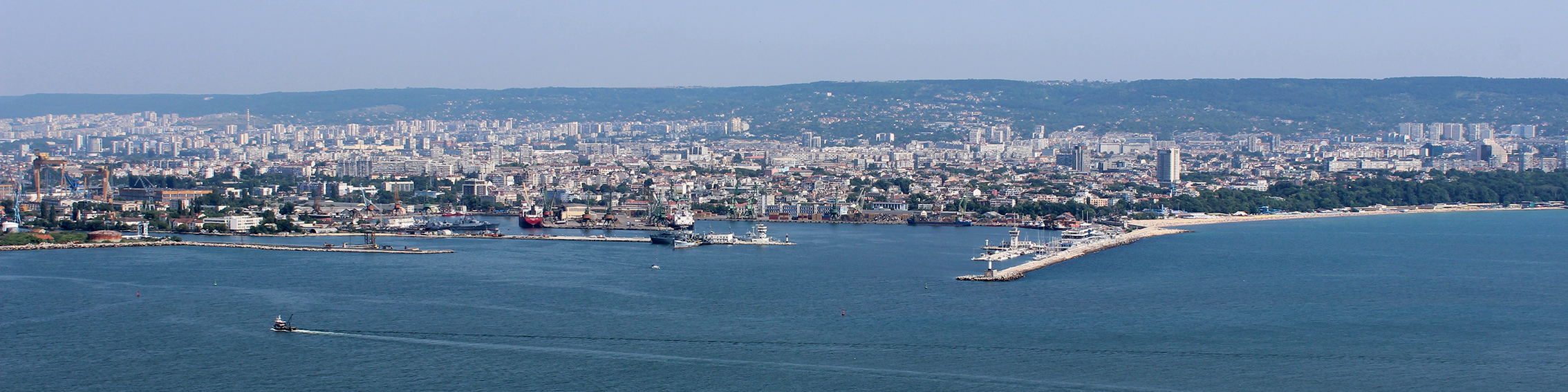
Our recently published peer-reviewed research paper in Marine Policy Journal, Supporting multi-use of the sea with maritime spatial planning. The case of a multi-use opportunity development - Bulgaria, Black Sea, has been promoted in the European MSP Platform February 2022 Newsletter: https://ec.europa.eu/newsroom/cinea/newsletter-archives/36955
The paper is a joint collaborative work between CCMS (Bulgaria); University of Gdansk (Poland); National Research Council, Institute of Marine Sciences (Venice, Italy); and Marine Scotland - Marine Planning and Policy (Scottish Government, Scotland, UK).
Generation Ocean starts today!
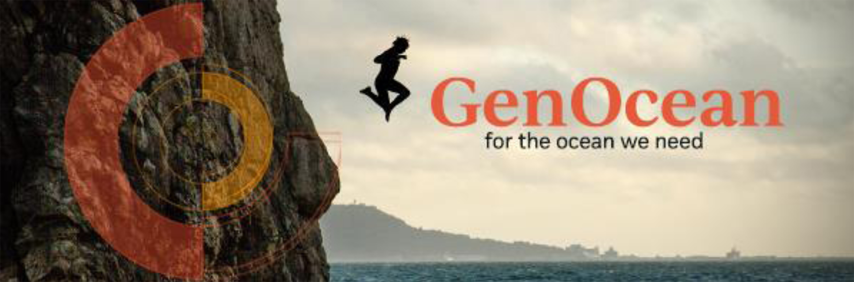
Today, it is the launching of a new global movement to build and strengthen knowledge to take action for the ocean we urgently need to save. Today, it is the launching of Generation Ocean (GenOcean).
Whether we live inland or by the sea, the ocean is essential to life and livelihoods; it is humanity's most constant and loyal supporter. Its waters connect us to one another, and its influence on our lives can be felt on a daily basis.
However, due to human activity, the ocean is under stress, and we have reached a decisive moment in our capacity to get it back on track.
EVERY GENERATION HAS A PART TO PLAY.
Whoever you are, wherever you're from, no matter what age, we are all GenOcean!
Join the global movement to grow awareness, build knowledge and drive action to restore, protect and live better with the ocean.
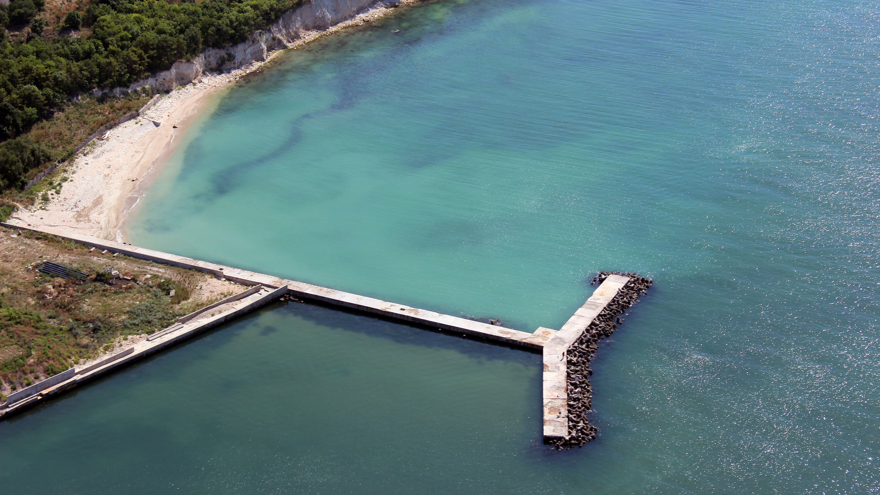
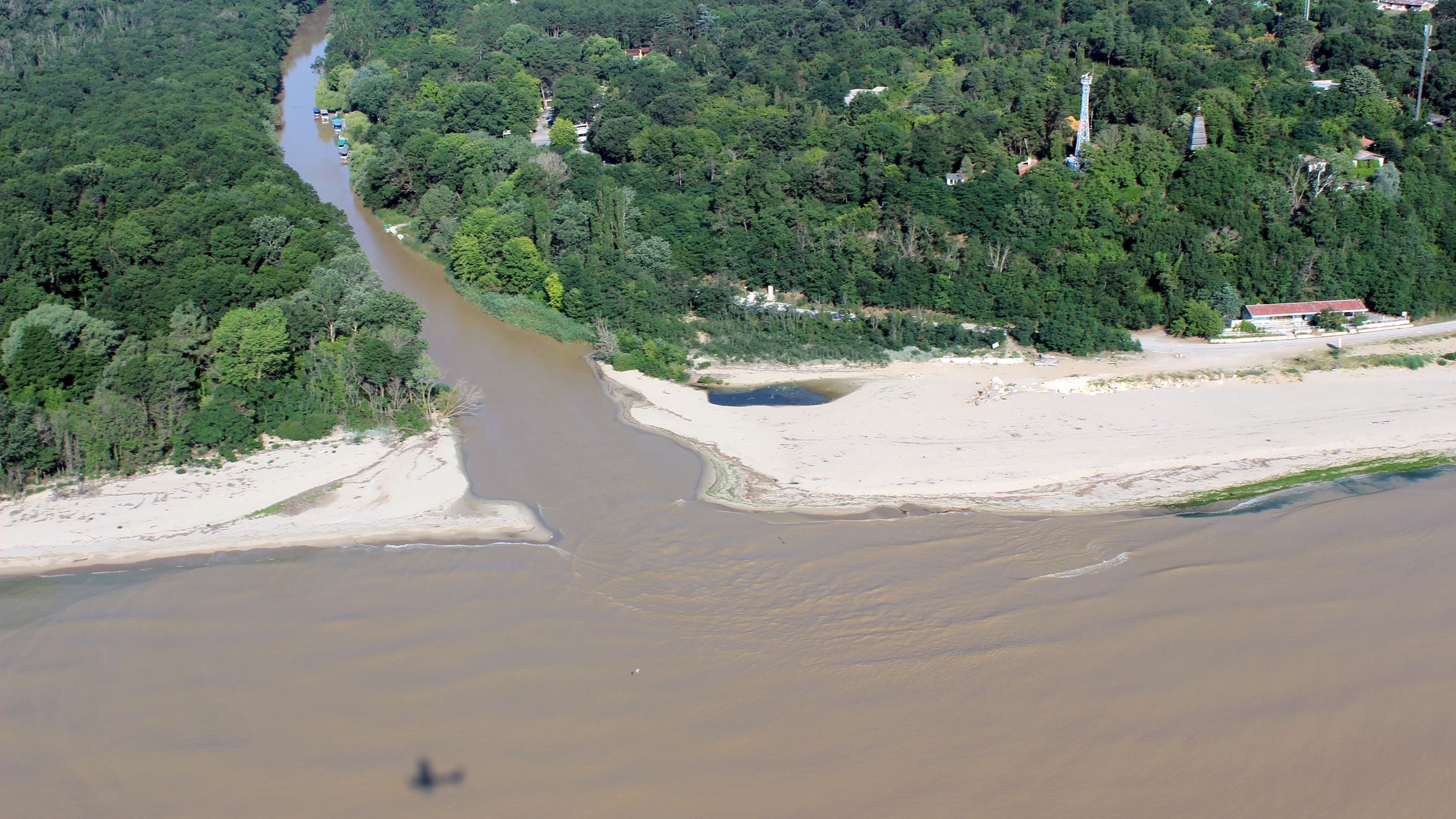
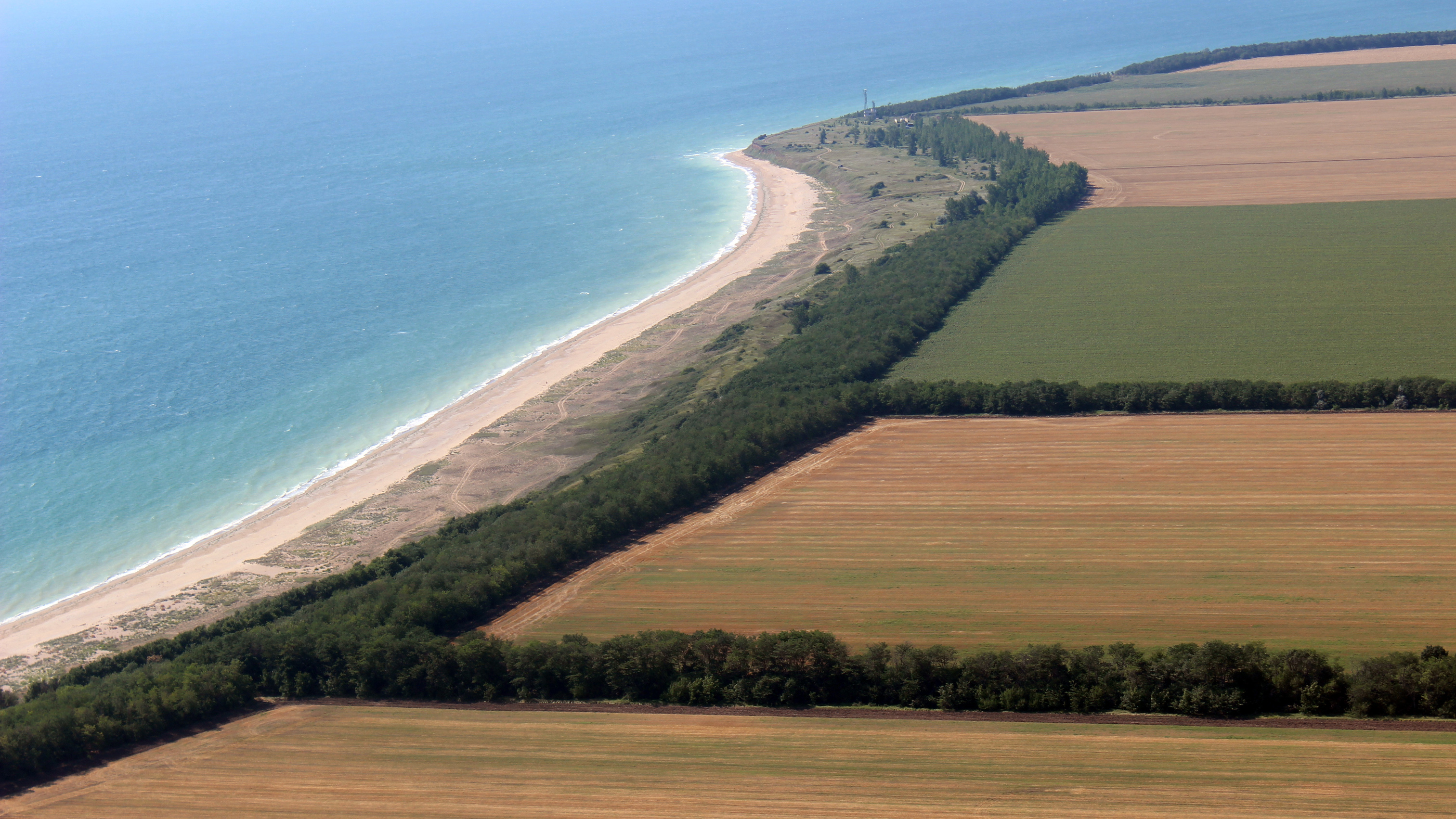
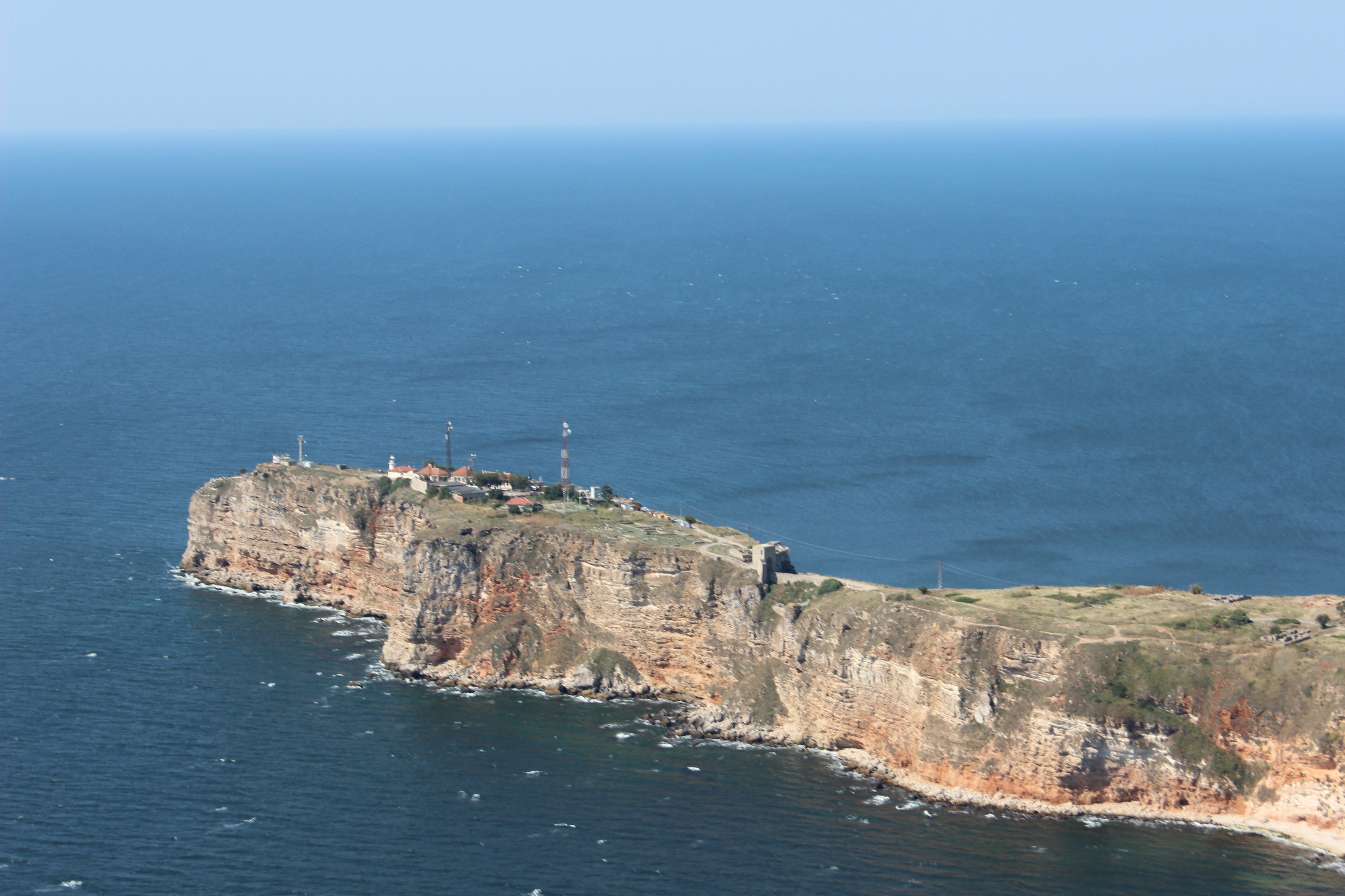
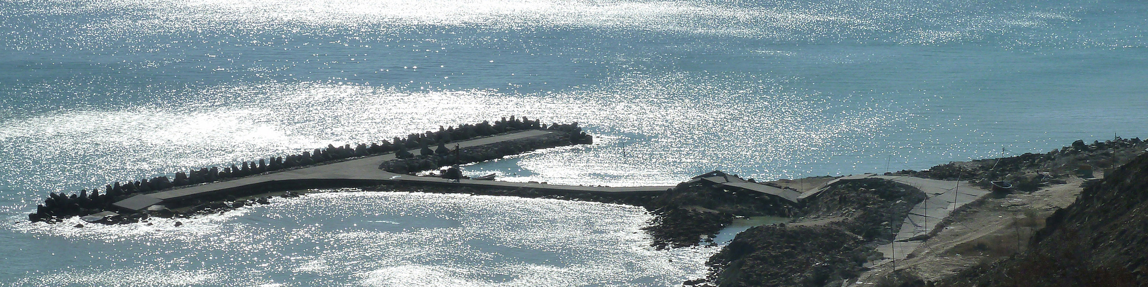
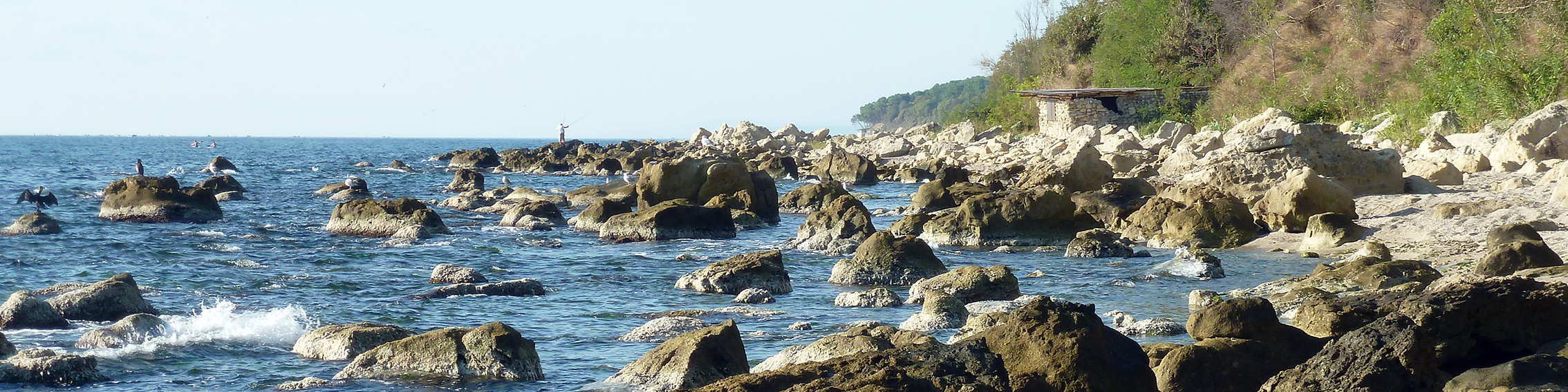
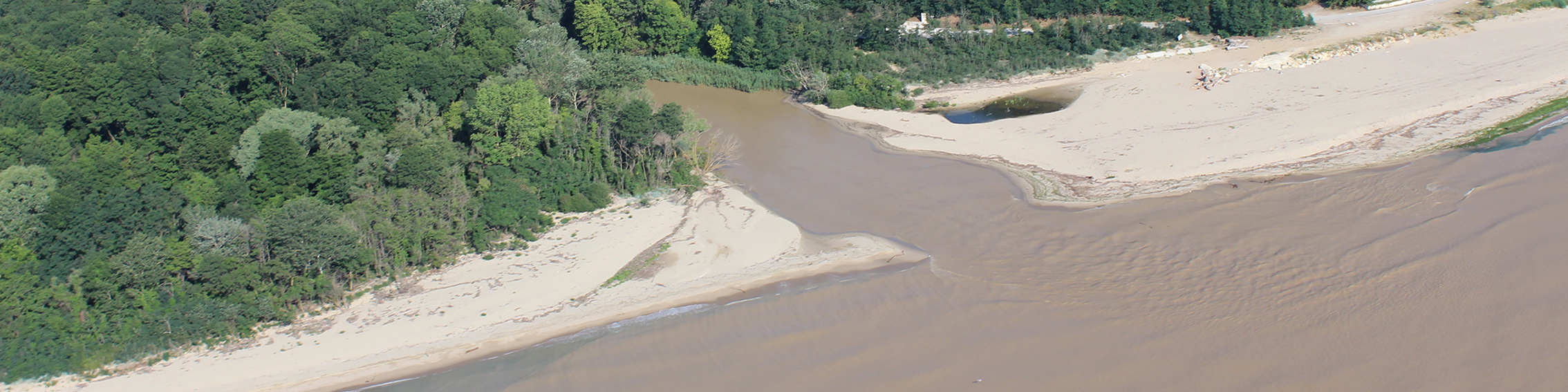
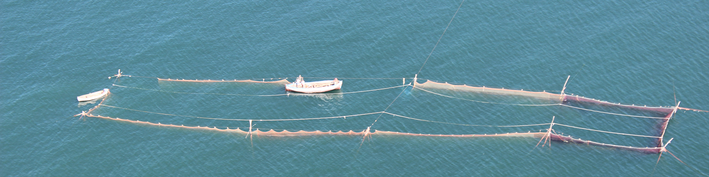
MARSPLAN-BS II OUTPUTS ON INTEGRATING LAND-SEA INTERACTIONS IN MSP ARE AVAILABLE IN THREE REPORTS
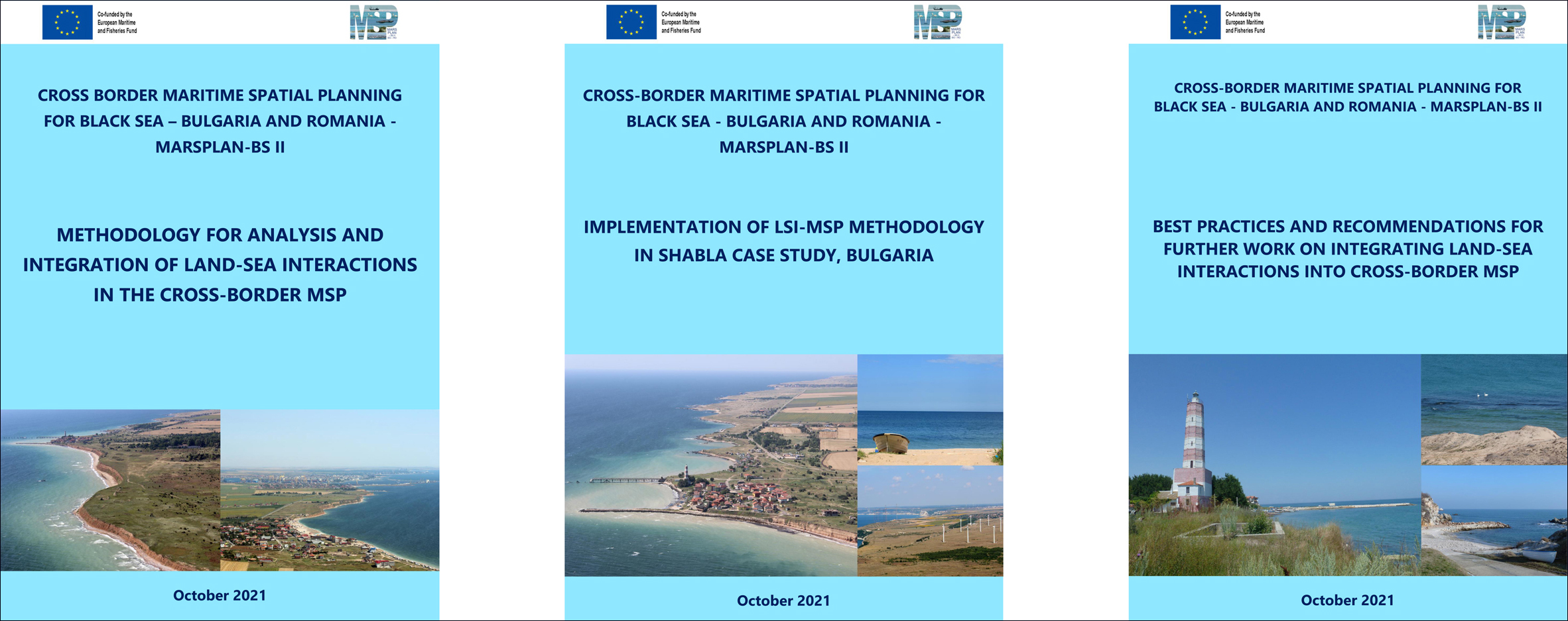
The Center for Coastal and Marine Studies (CCMS) has led the development and elaboration of the Land-Sea Interactions (LSI) reports and case study under the MARSPLAN-BS II project (WP2, Activity 2.3 Integration of LSI in MSP for the cross-border region).
The Report on Methodology for analysis and integration of Land-Sea Interactions in the cross-border MSP provides relevant methodology for analysis and integration of LSI in the MSP, transferable for application to the national MSP plans of Bulgaria and Romania.
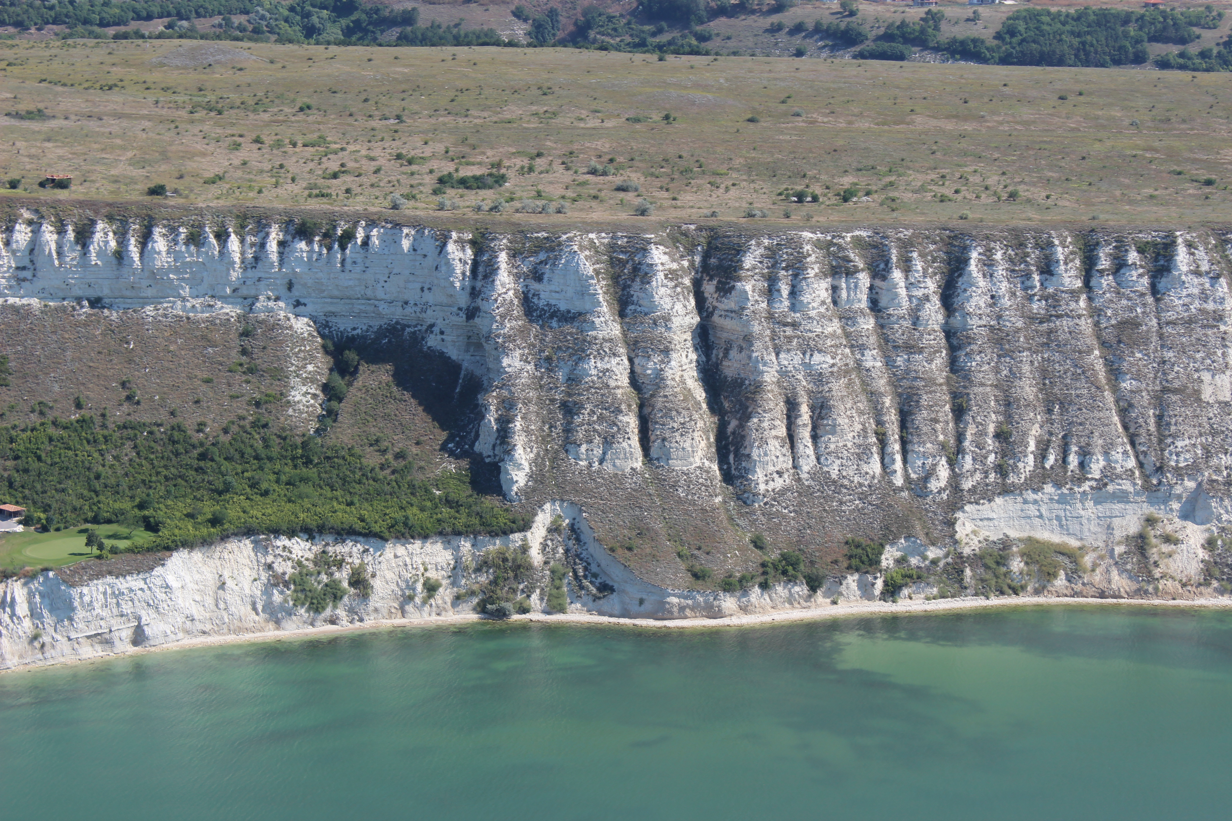
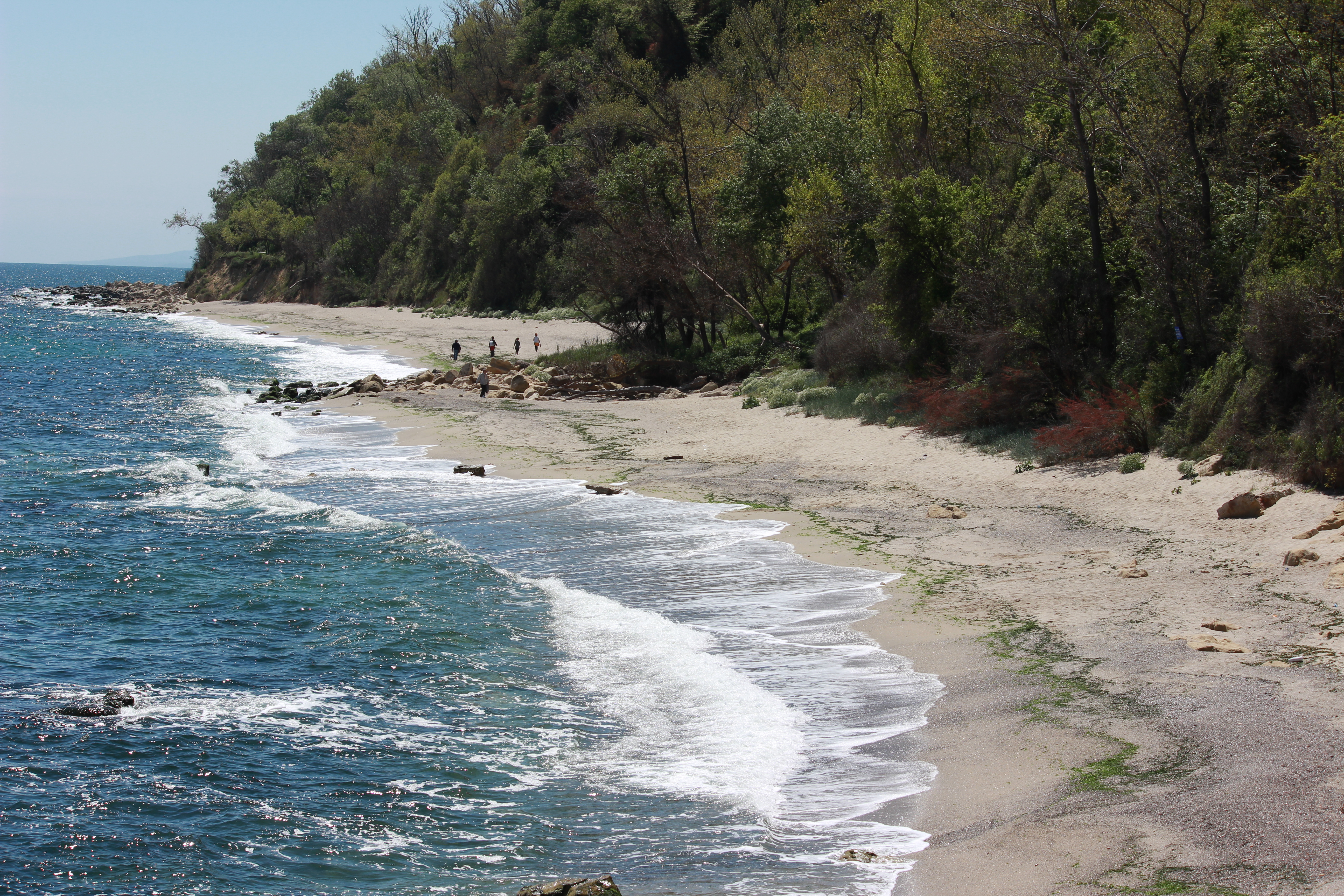
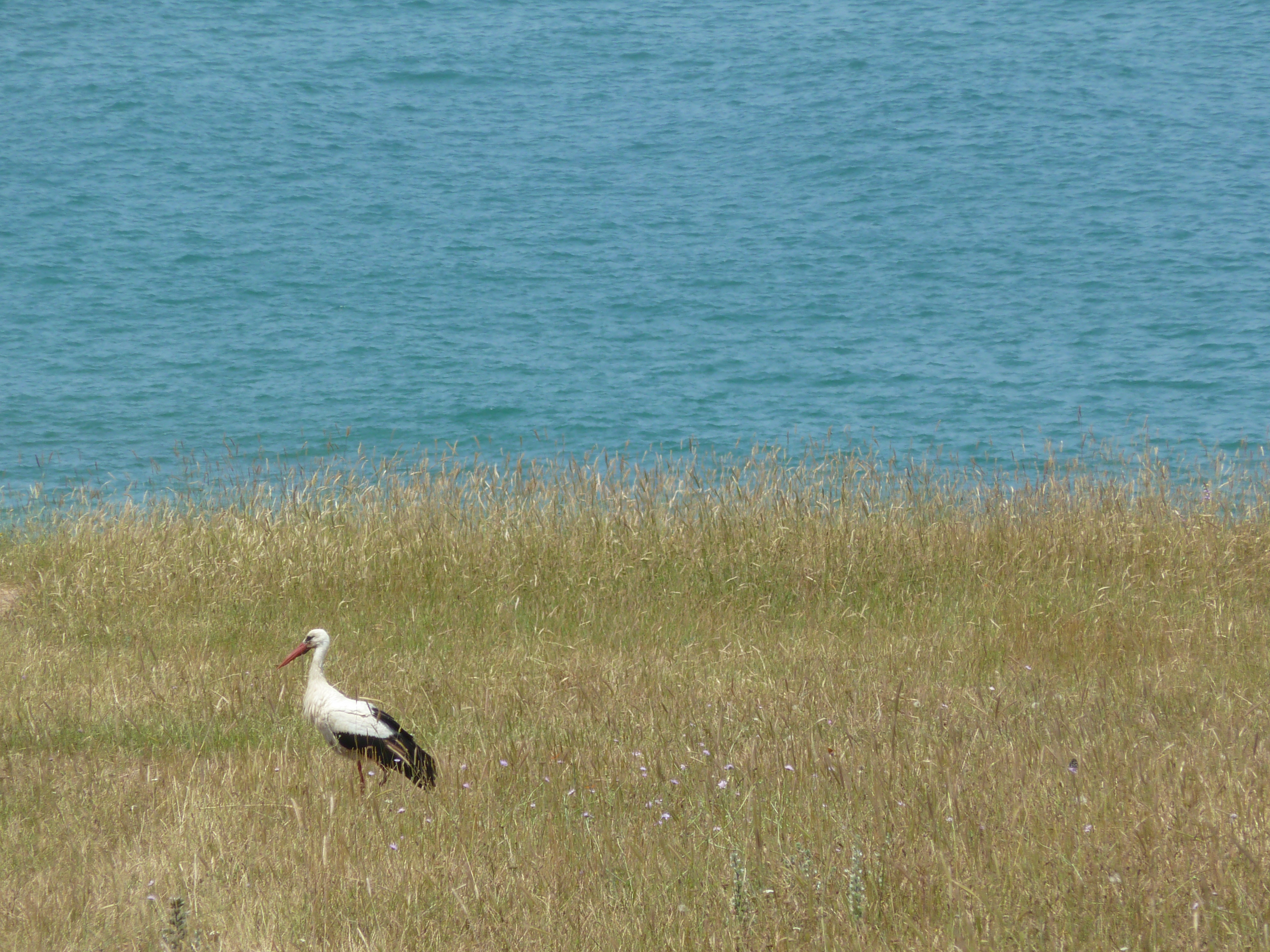
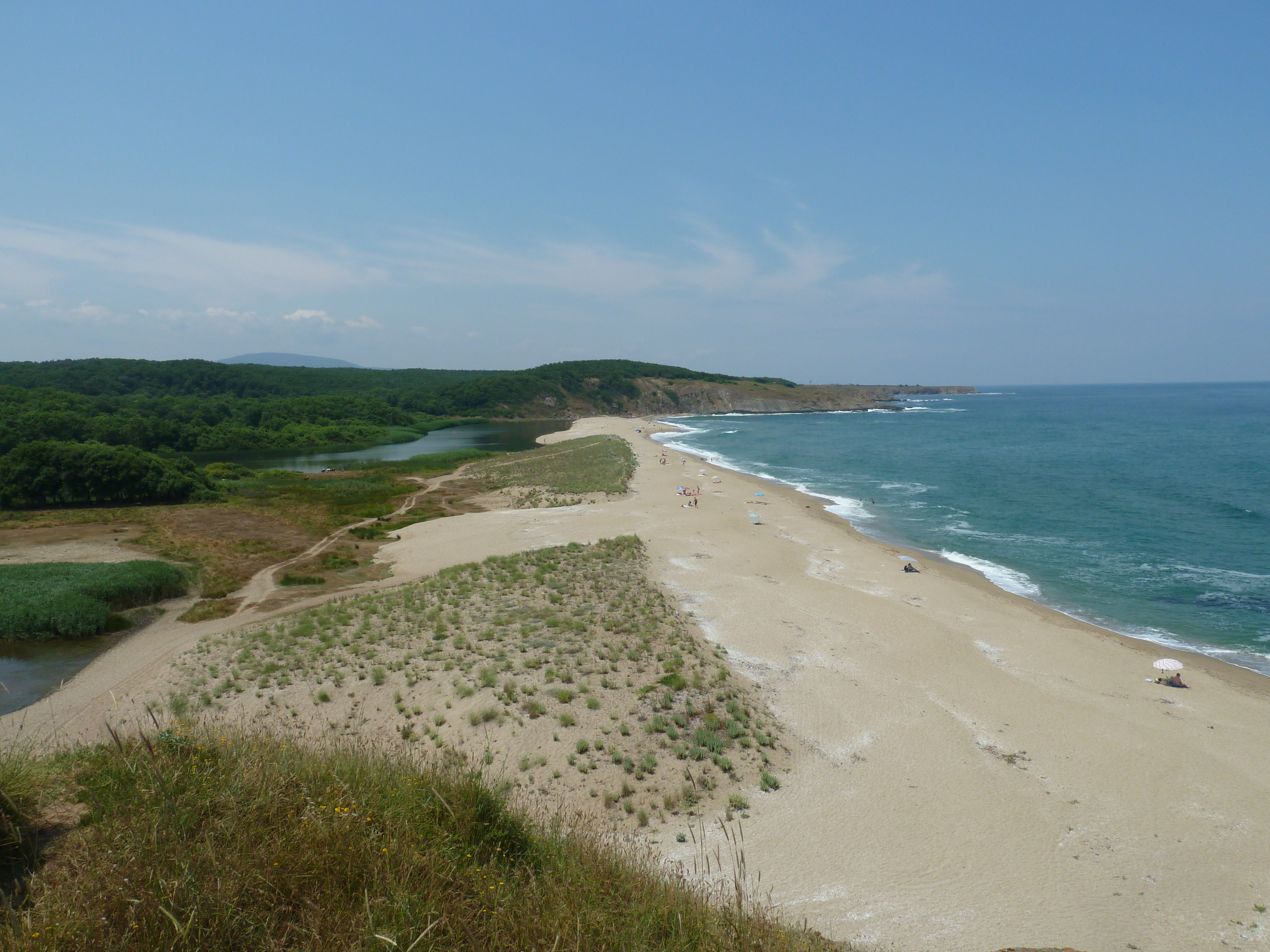
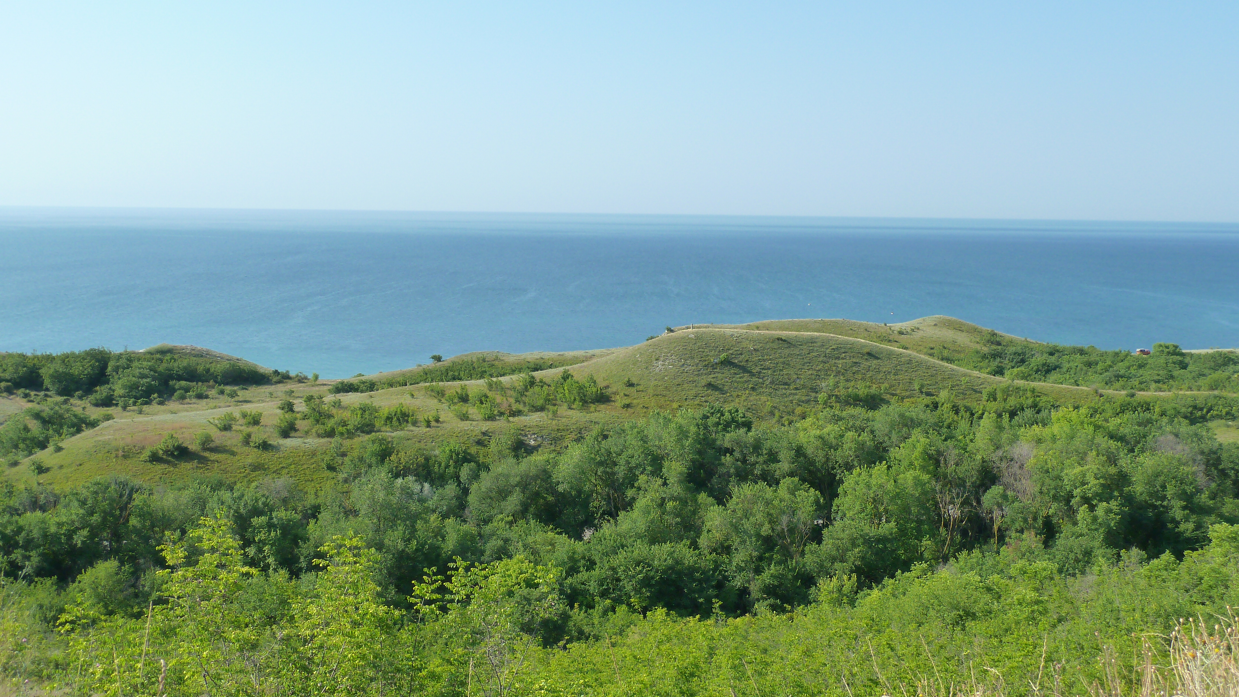
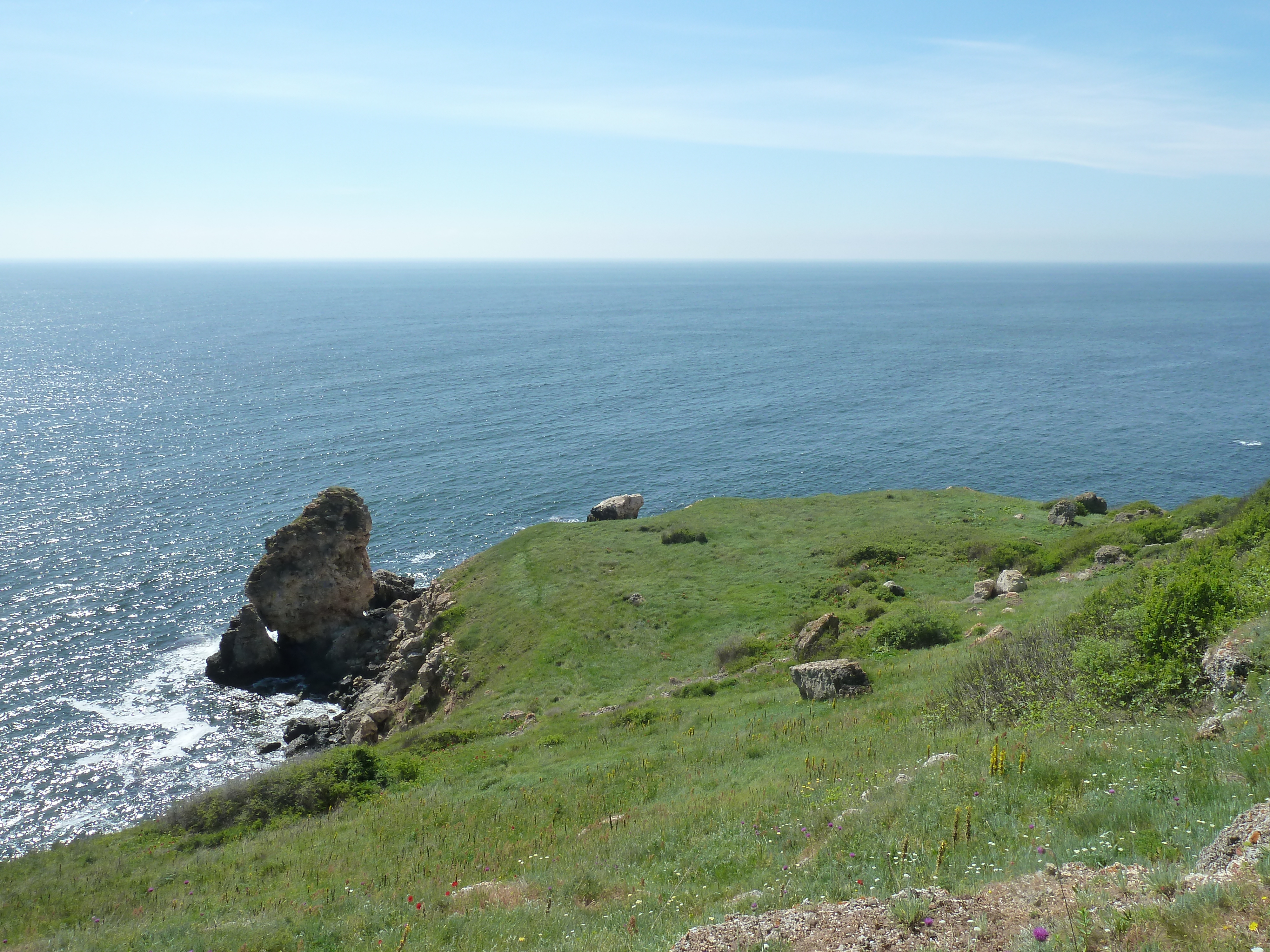
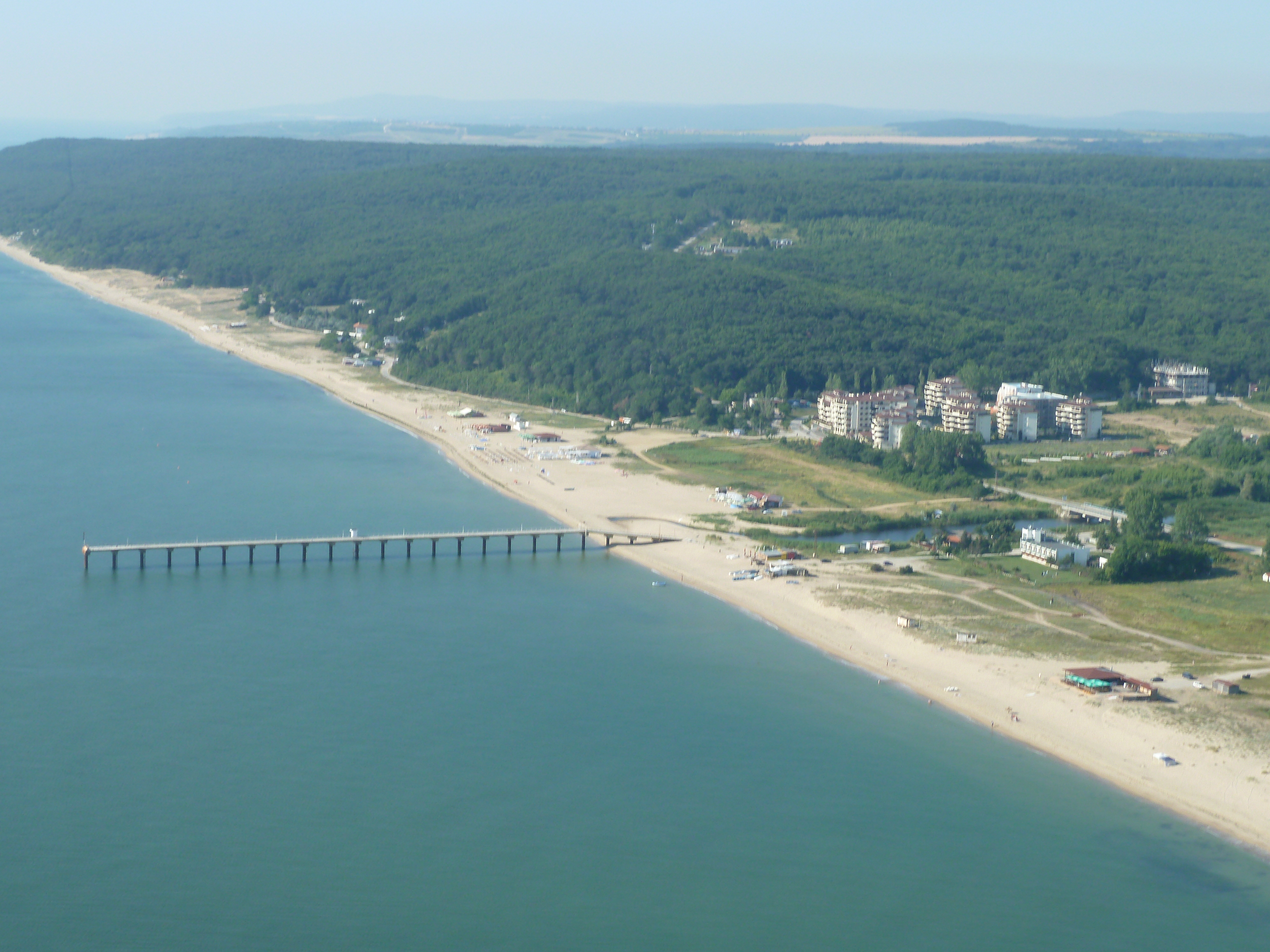
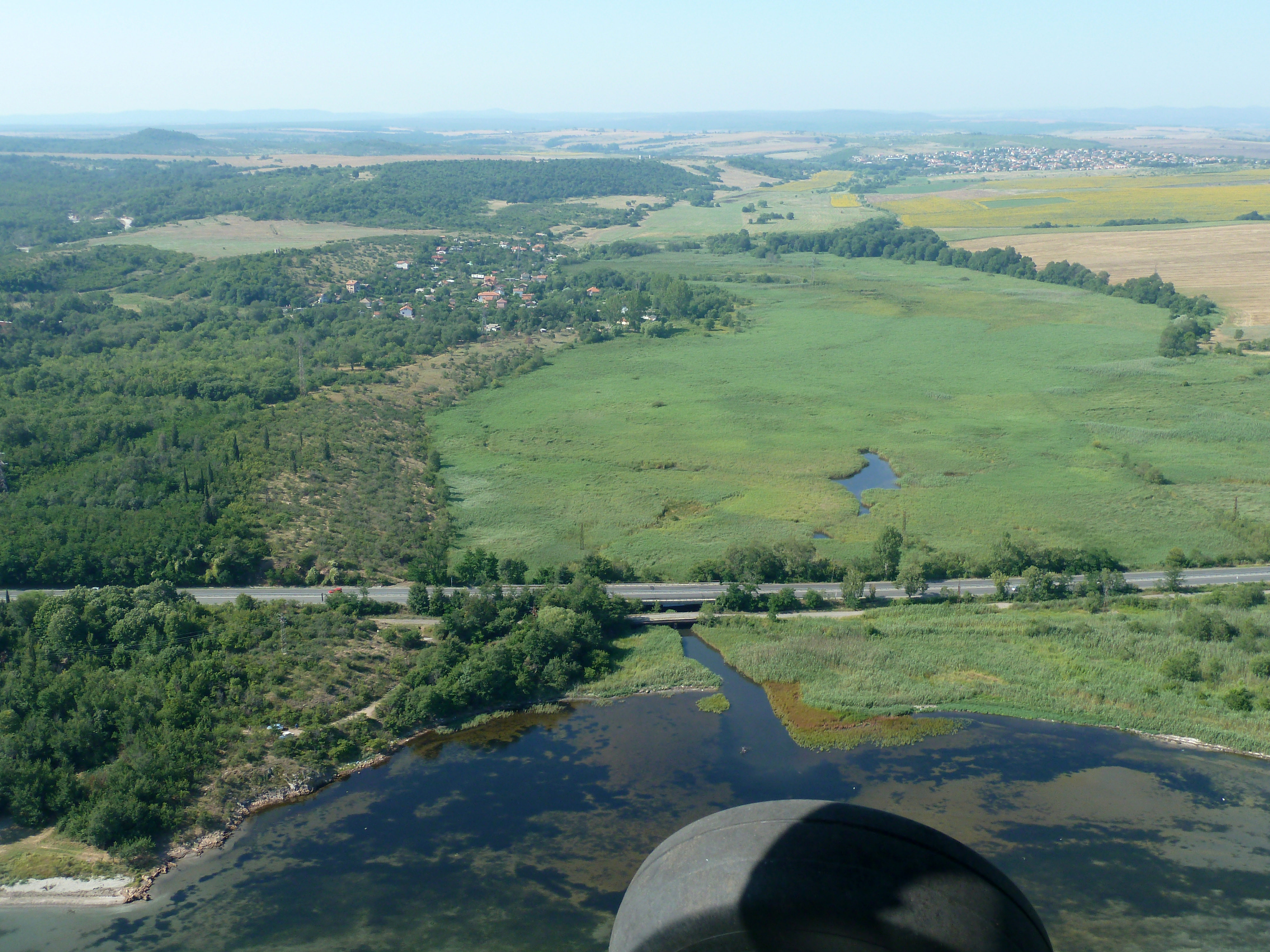
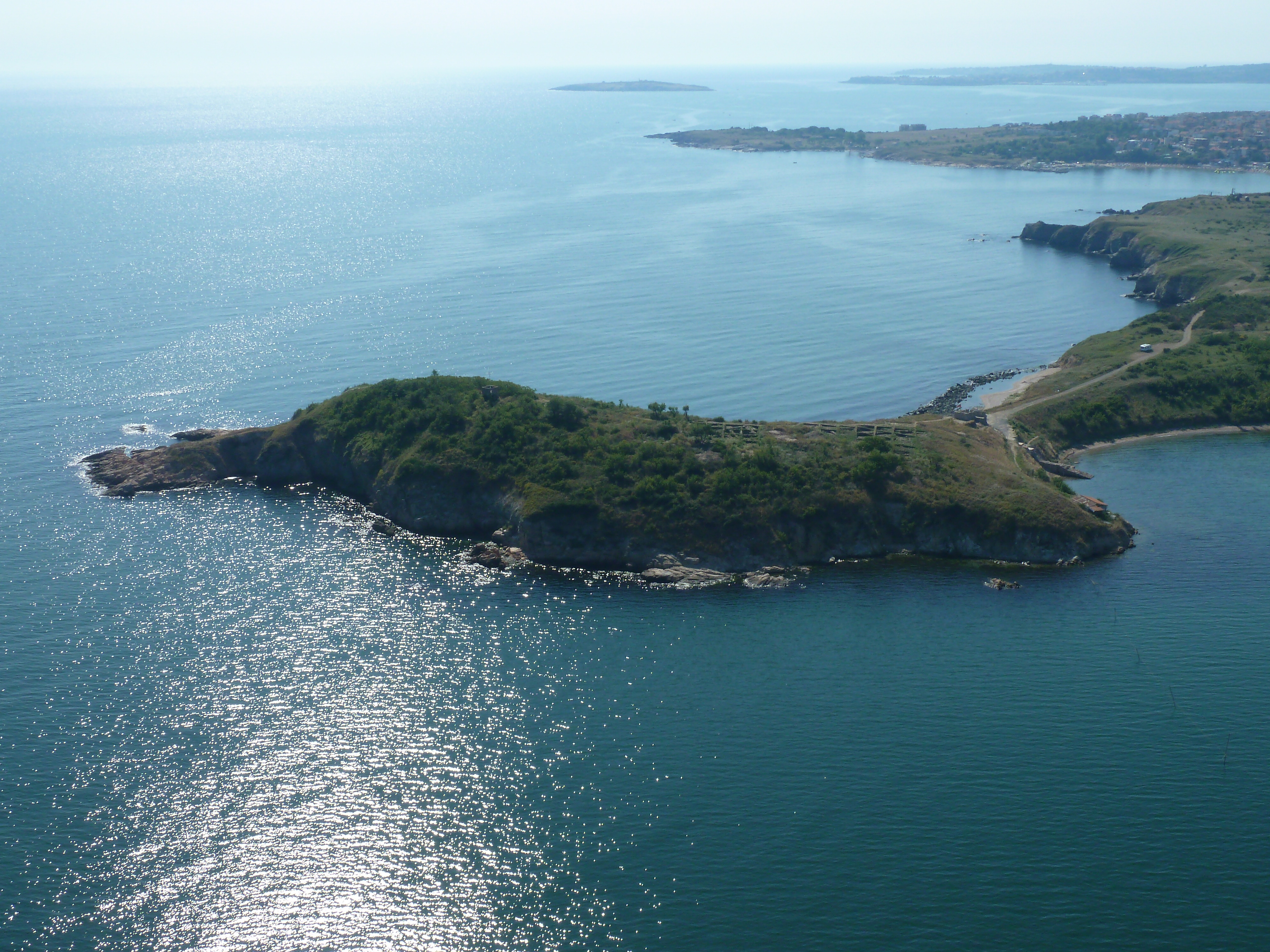
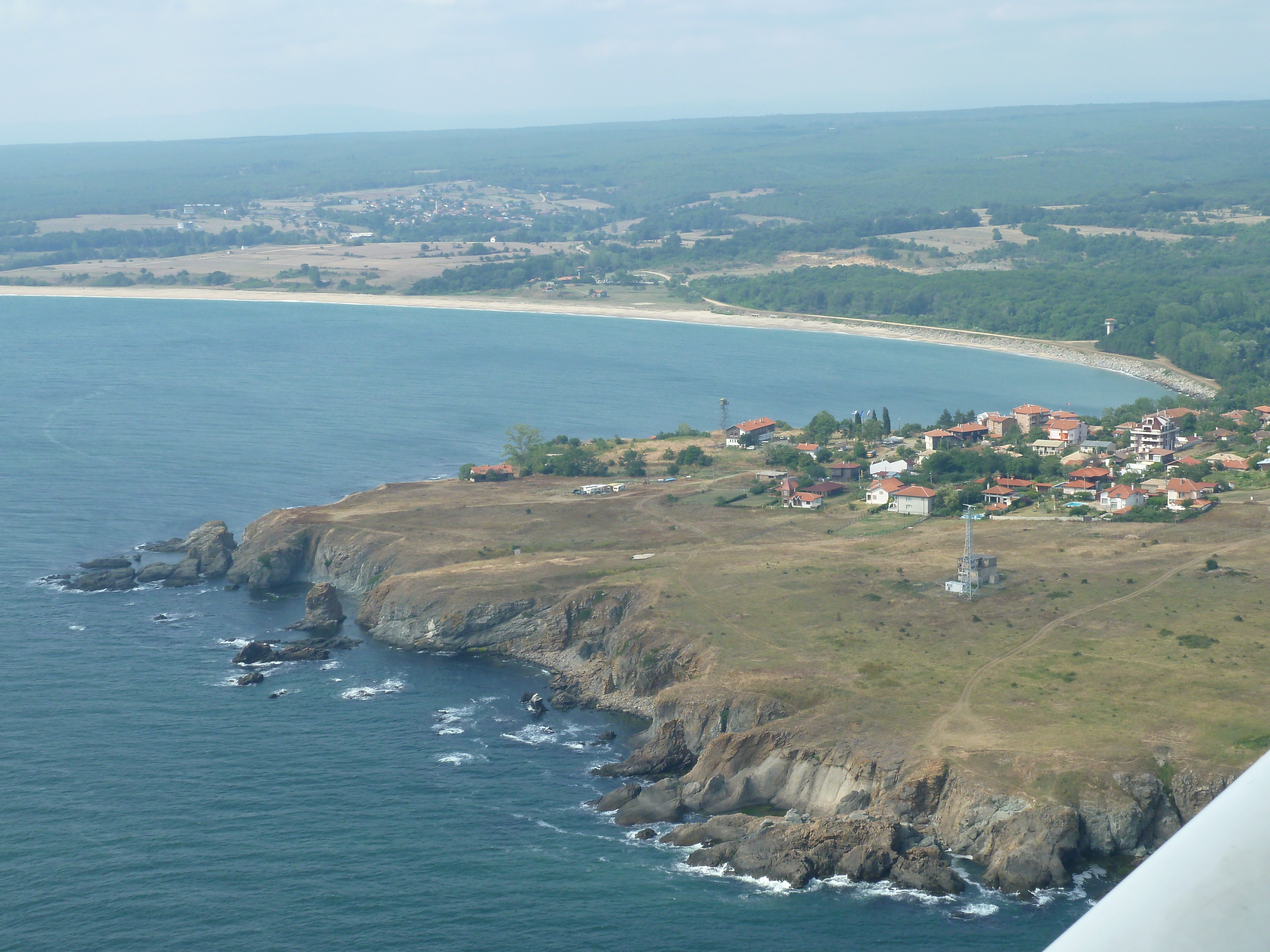
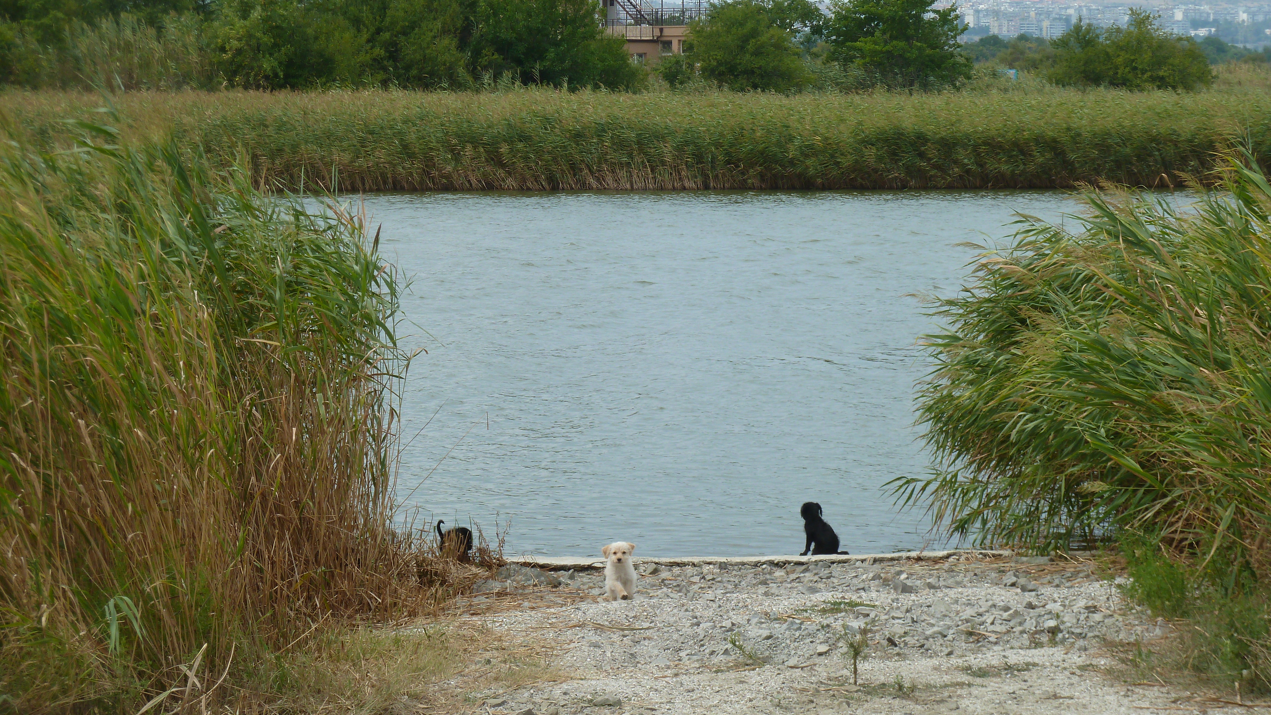
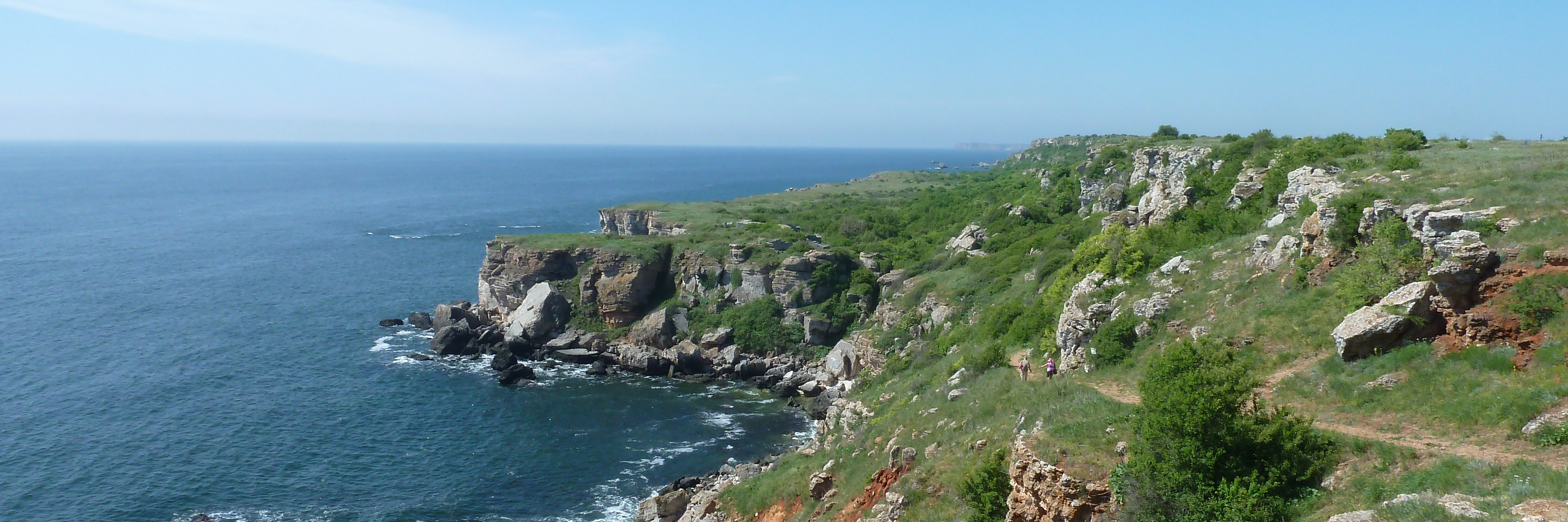
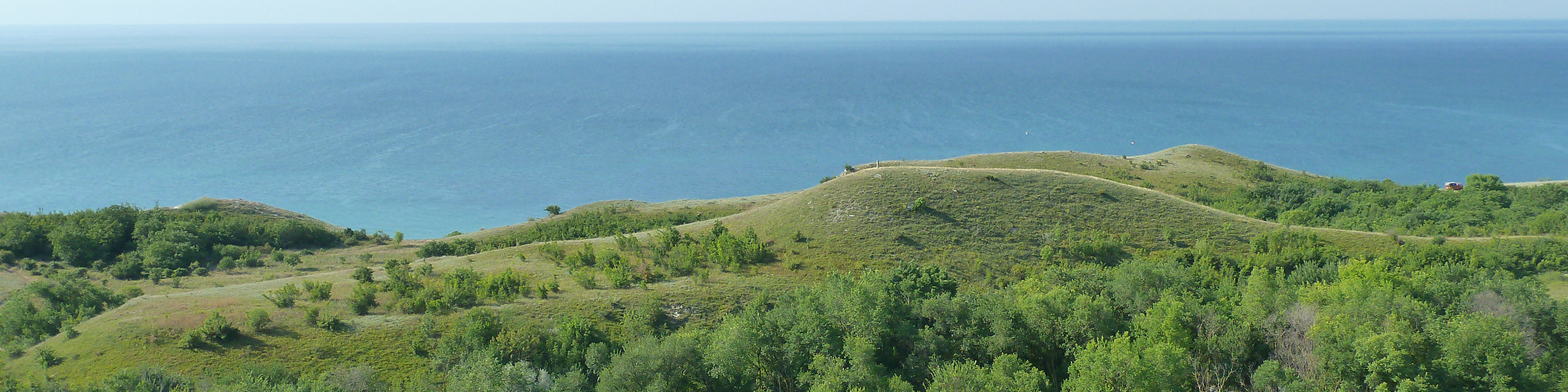
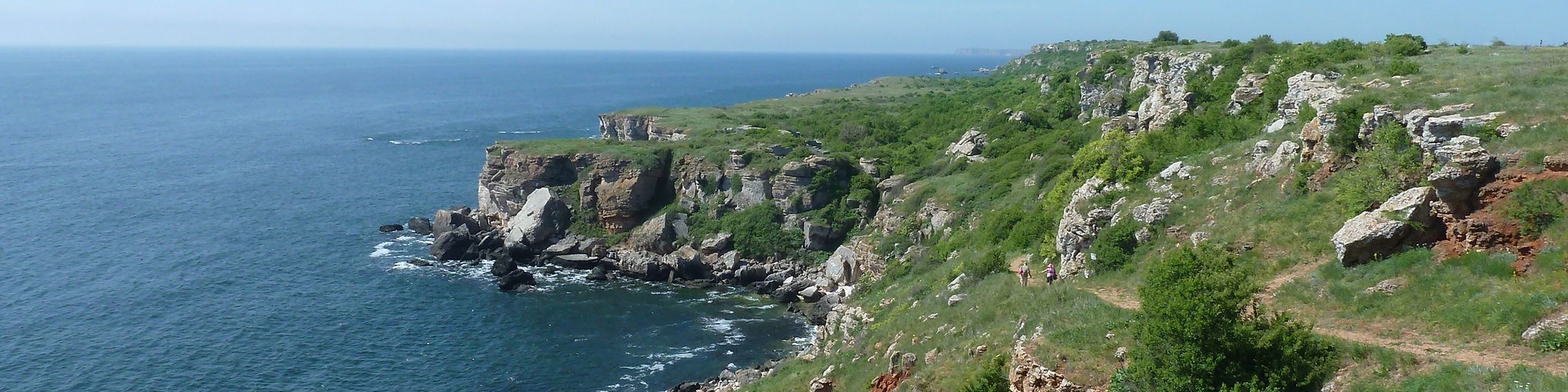
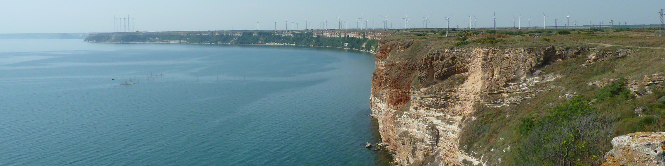
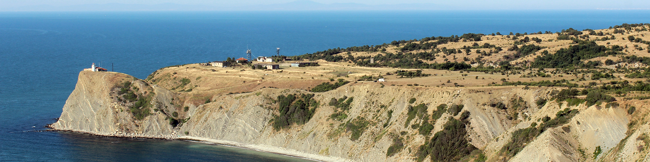
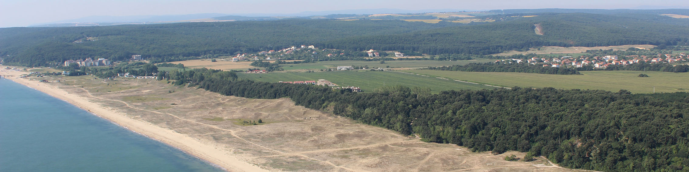
The Report on Implementation of LSI-MSP methodology in Shabla Case Study presents the results of testing the proposed LSI methodology in Bulgaria (Shabla Municipality): LSI stocktaking, in-depth analysis of LSI and key messages for LSI integration in MSP.
The Report on Best practices and recommendations for further work on integrating Land-Sea Interactions into cross-border MSP provides synopsis of the existing and emerging approaches and mechanisms for addressing the LSI and integrating them in the MSP (EU project-based studies and general frameworks), identified challenges and enablers on integrating LSI in MSP and concludes with key recommendations to overcome these challenges.
Follow the full reports on the MARSPLAN-BS II website: http://www.marsplan.ro/en/
CCS January 2022 Newsletter published and ready for read!
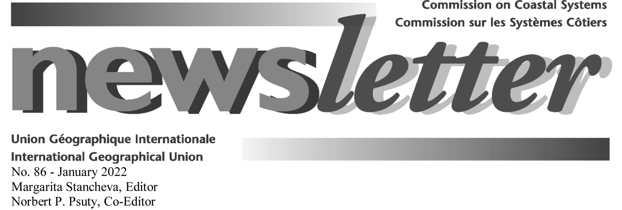
The Commission on Coastal Systems (CCS) to the International Geographical Union (IGU) is delighted to release its January 2022 Newsletter: you can discover the latest news, CCS recent and upcoming activities, initiatives and collaborations by following CCS website: http://igu-coast.org/.
The CCS Newsletter is issued twice a year and highlights the activities of the Commission on Coastal Systems and its members all across the world. If you would like to join CCS network, you only need to fill out the form at the end of the Newsletter or to get in contact with CCS!
Enjoy the content of CCS January 2022 Newsletter and participate by sharing information and disseminating it to your wide networks and interested readers.
Commission on Coastal Systems, International Geographical Union.