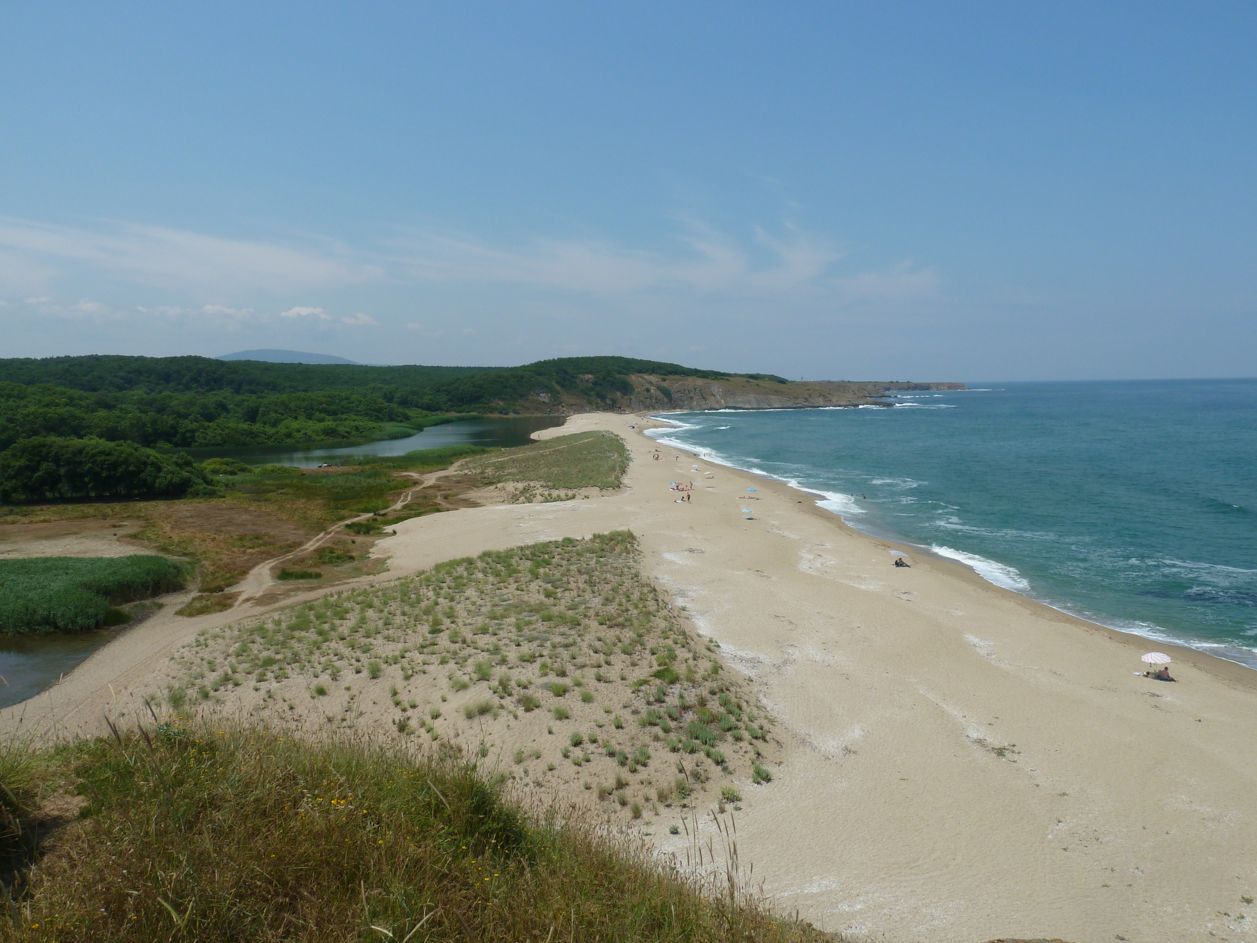


Center for Coastal & Marine Studies
MED MSP CoP IV Webinar: Sharing knowledge as key for advancing MSP practice: examples from other communities of practice and knowledge platforms
Tuesday 13th February 2024 11:00-12:15 CET
The MED-MSP-CoP organises a series of technical Webinars to:
• Disseminate valuable practices on MSP in the Mediterranean
• Illustrate how such experiences tackle some of the key challenges addressed by the MED-MSP-CoP, including “MSP for MPAs” and “MSP as key enabler for SBE strategies and initiatives”
• Provide a regular opportunity for an open discussion on MSP-related issues of common interest for the MED-MSP-CoP experts
• Invite any other experts in participating to the discussion and more in general to join the MED-MSP-CoP.
The IV MED MSP CoP Webinar will be chaired by Emiliano Ramieri (CNR ISMAR) and includes two presentations:
11:00 – 11:25
MSP-OR Platform: an ocean governance hub: for the Outermost Regions, Helena Calado (University of Azores)
11:25 – 11:50
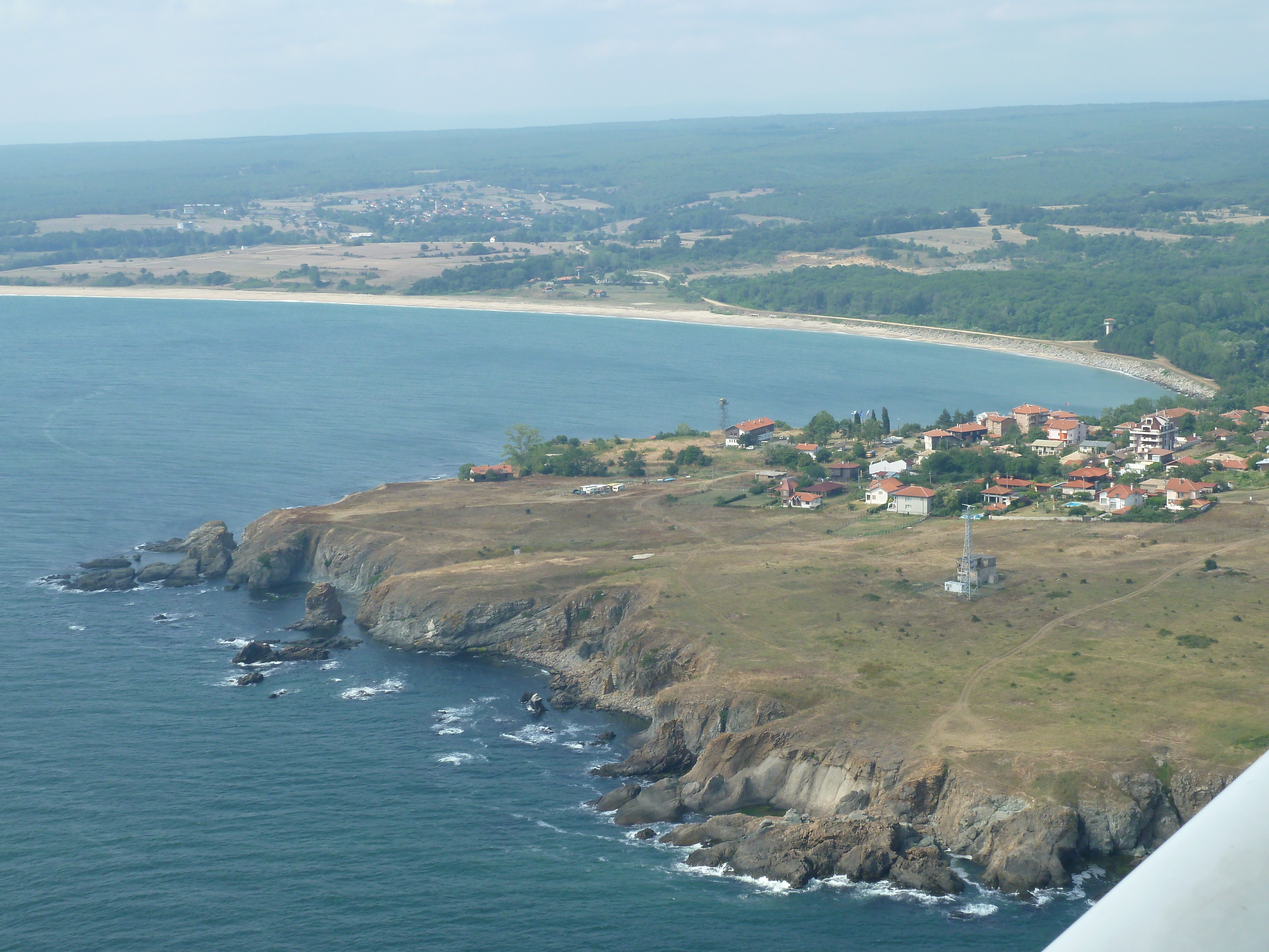
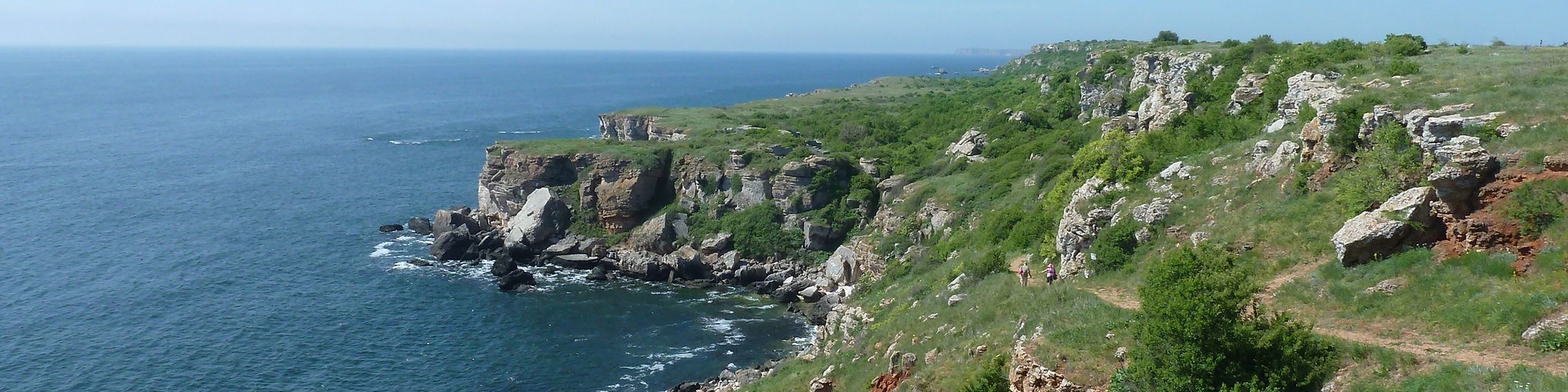
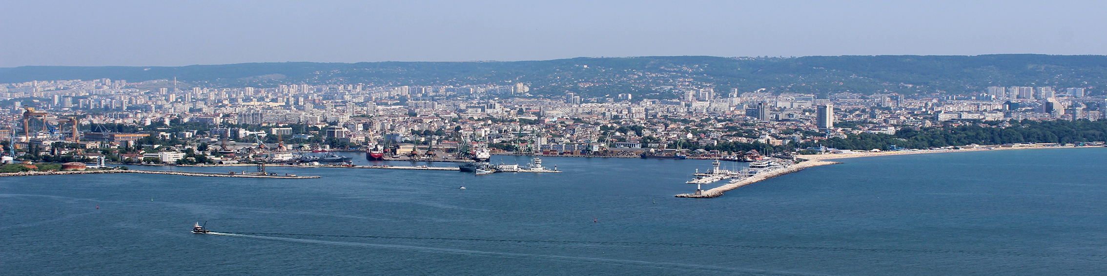
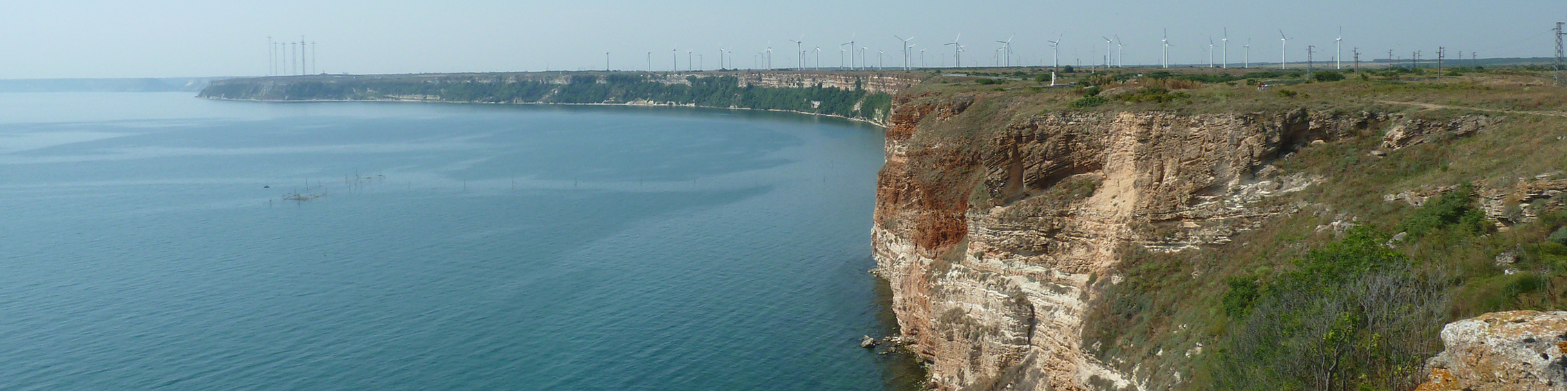
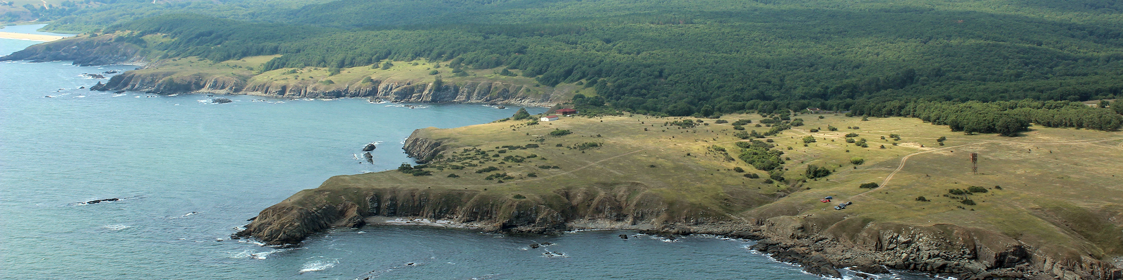
MSP4BIO CoP: a platform to co-develop a better alignment of MSP and MPAs management, Margarita Stancheva (Center for Coastal & Marine Studies)
11:50 – 12:15 Moderated discussion
If you are not a member of the MED-MSP-CoP and you would like to participate in the Webinars please contact at:
For further updates, please follow: https://maritime-spatial-planning.ec.europa.eu/events/med-msp-cop-iv-webinar-sharing-knowledge-key-advancing-msp-practice-examples-form
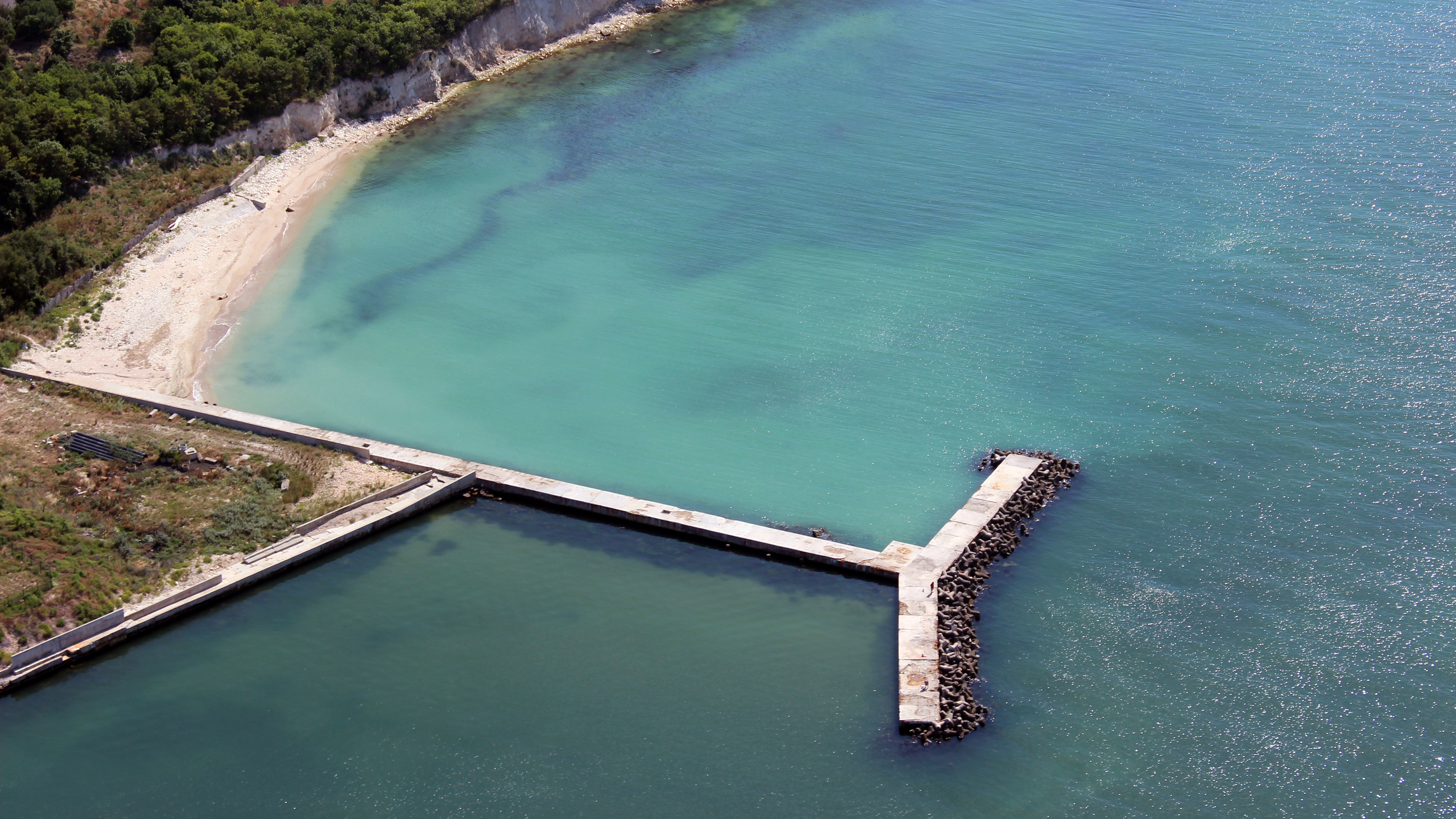
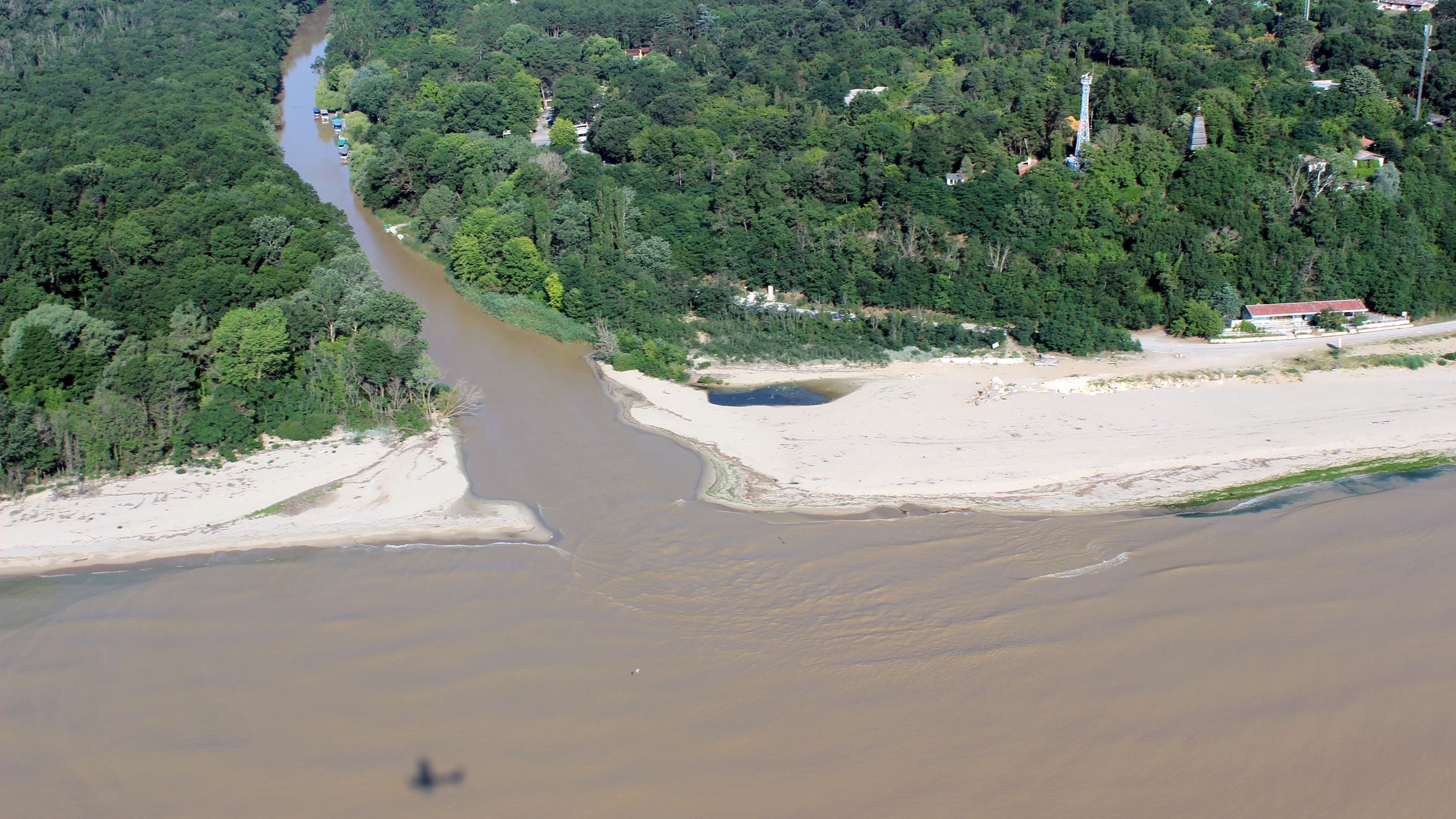
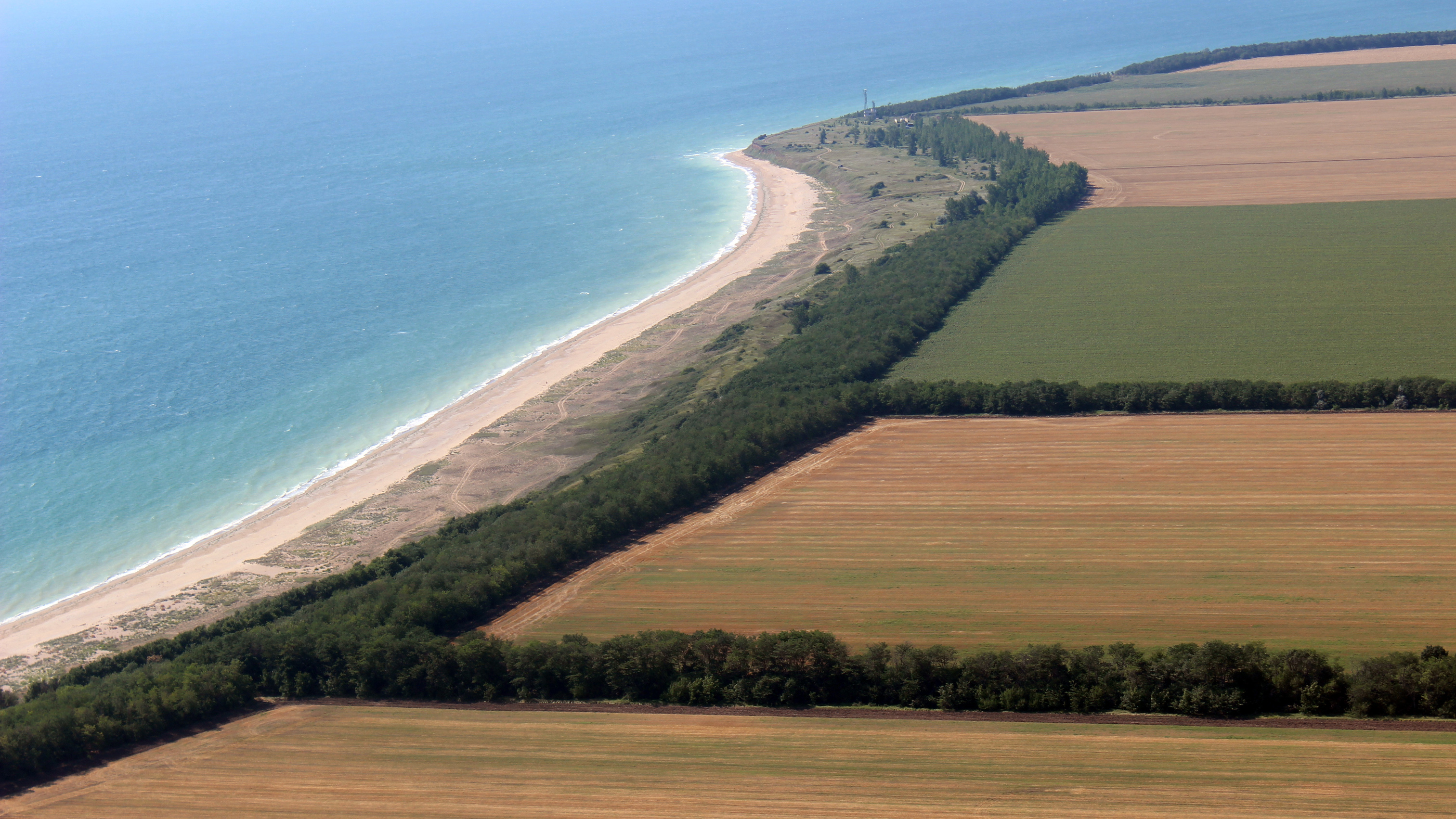
MARITIME SPATIAL PLANNING FOR A GREENER EUROPE: Year 2023 reflections from the MSP-GREEN Project
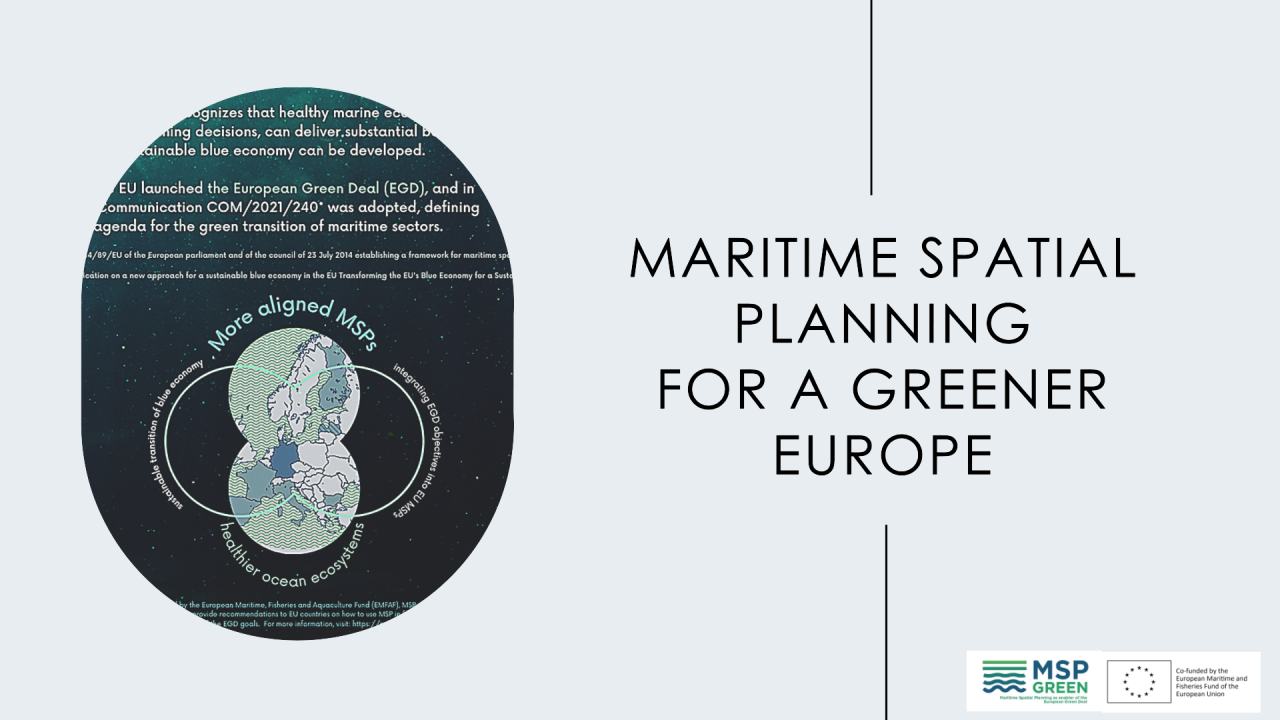
The EU Directive on MSP describes maritime spatial planning as: "a process by which the relevant Member State’s authorities analyse and organise human activities in marine areas to achieve ecological, economic and social objectives."
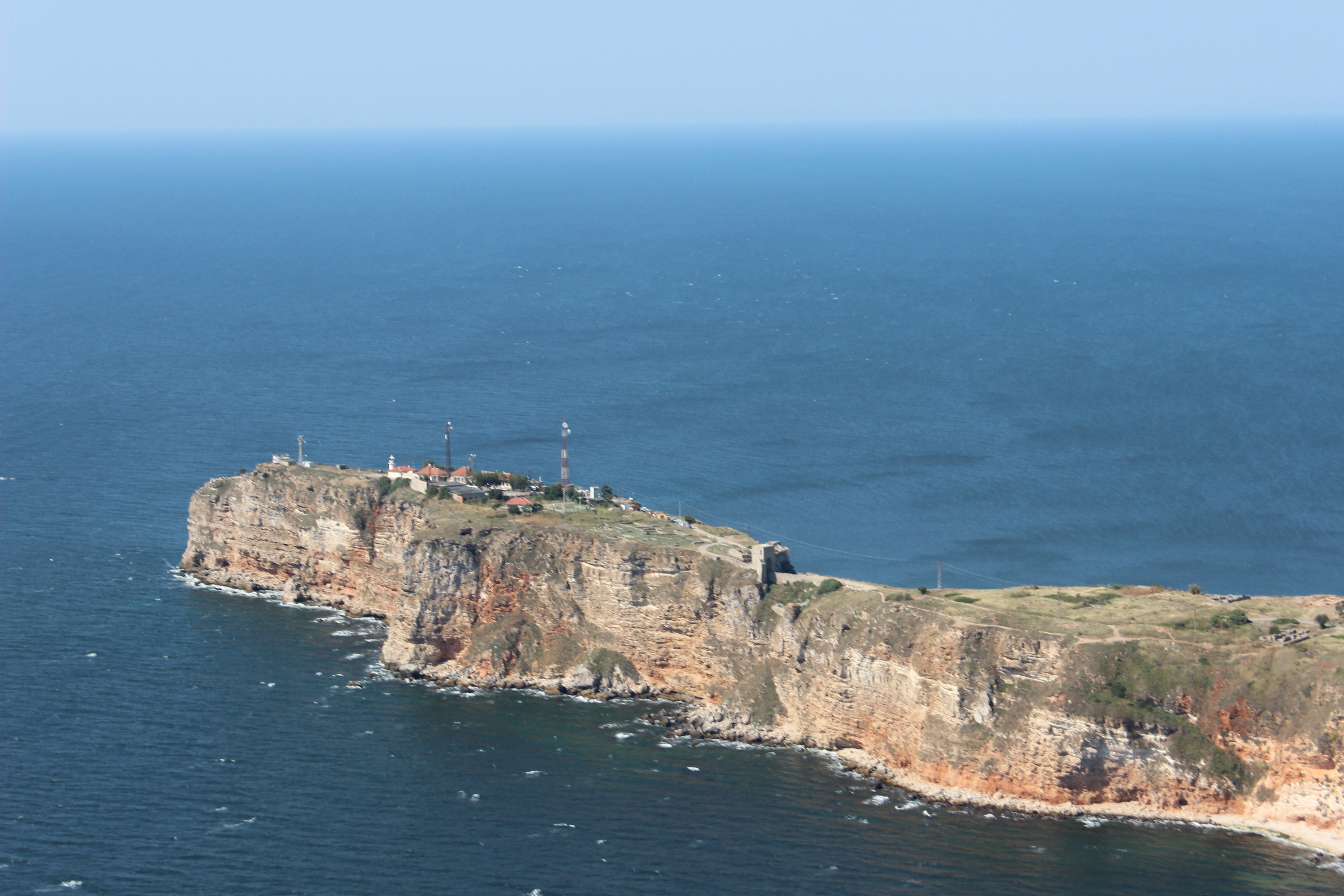
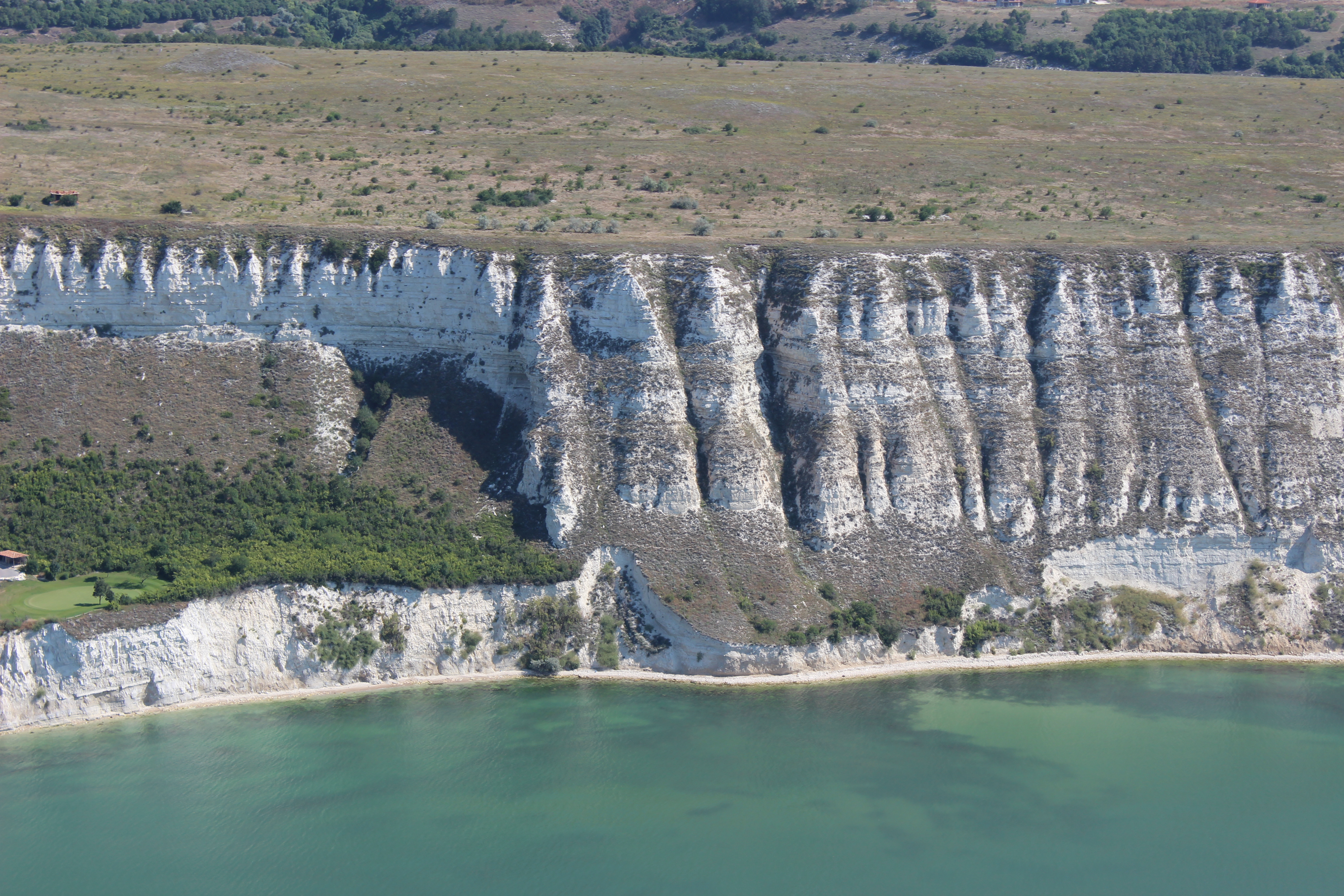
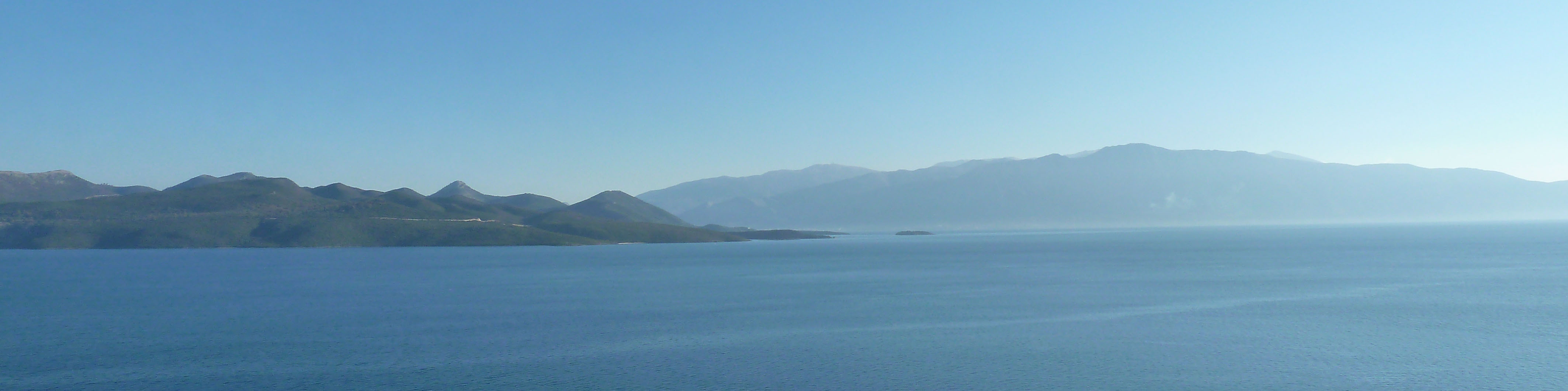
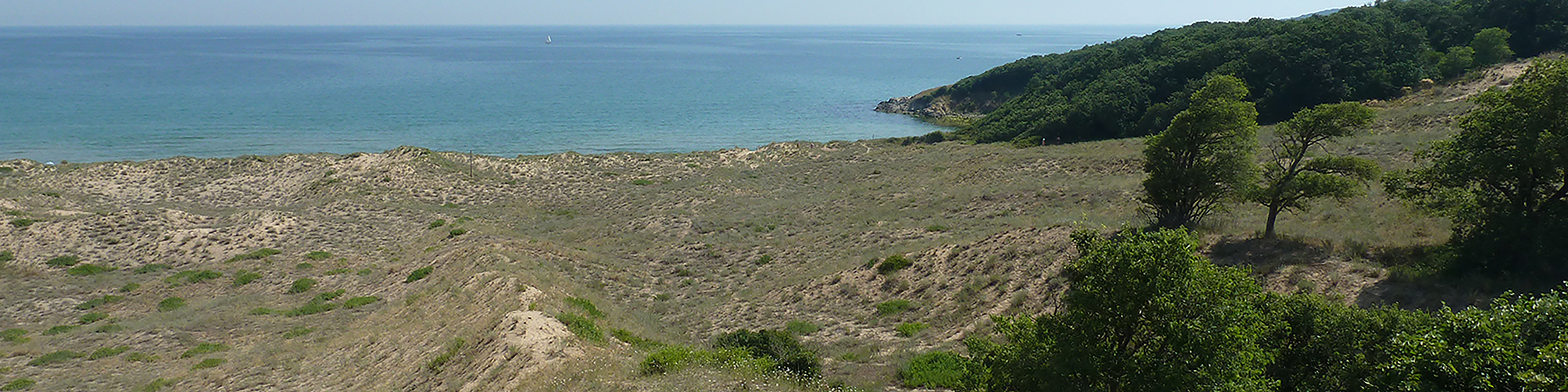
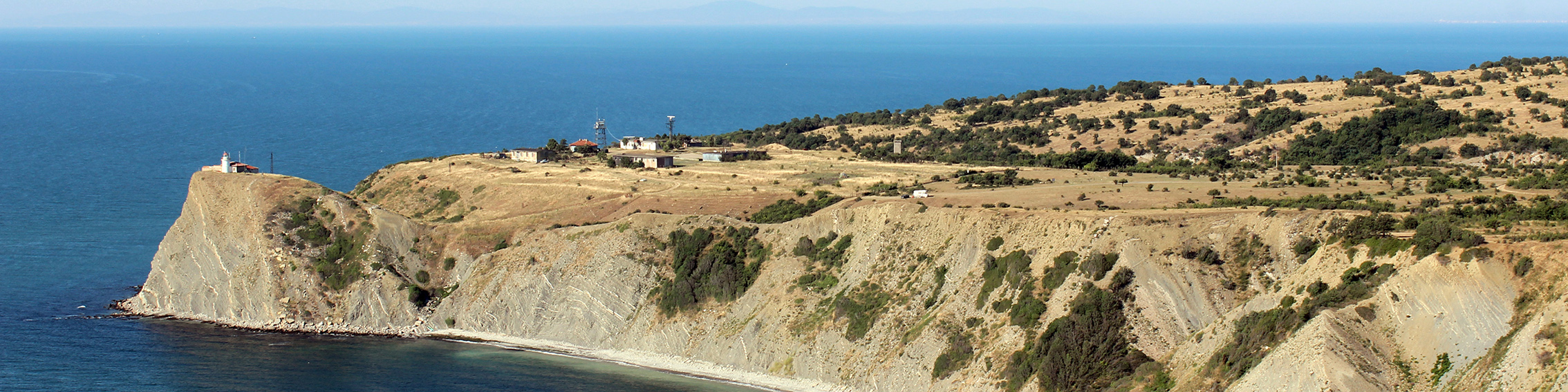
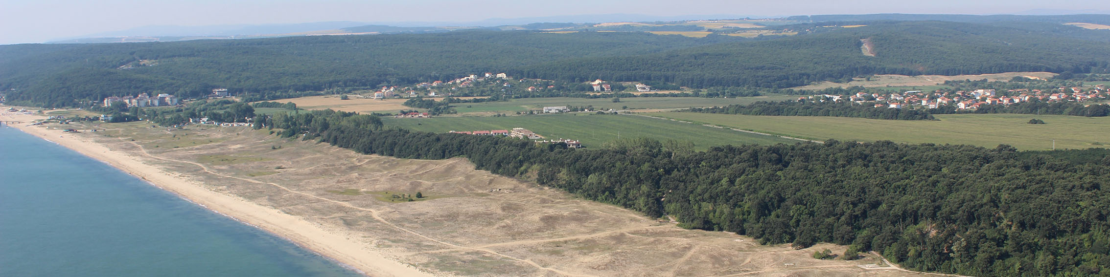
As such, the European Maritime, Fisheries and Aquaculture Fund (EMFAF) co-funded project MSP-GREEN contributes to align maritime spatial plans (furthermore - MSPs) to the ambition of the EGD. The project considers five European sea basins: the Mediterranean Sea, the Black Sea, the North Sea, the Baltic Sea and the Atlantic Ocean, within which the MSPs of Italy, Spain, France, Bulgaria, Germany, Latvia and Finland are analysed.
Over the past year - 2023, in the framework of MSP-GREEN project Working Package 2, a comprehensive methodological analysis took place where partners assessed whether and how their national Maritime Spatial Plans have considered the EGD objectives. This was realized by identifying which are the major gaps, the challenges encountered, and the trade-offs expected in mainstreaming EGD into MSPs. To achieve these objectives, partners analysed their national MSPs and identified the components in line with the various elements of the EGD actions: (1) climate change, (2) circular blue economy, (3) marine biodiversity, (4) marine renewable energy, (5) sustainable food provision, (6) zero pollution.
Additionally, the project addresses horizontal components of the EGD, such as achieving a just, fair and inclusive transition.
Welcome to the 2nd edition of Blue Horizons!
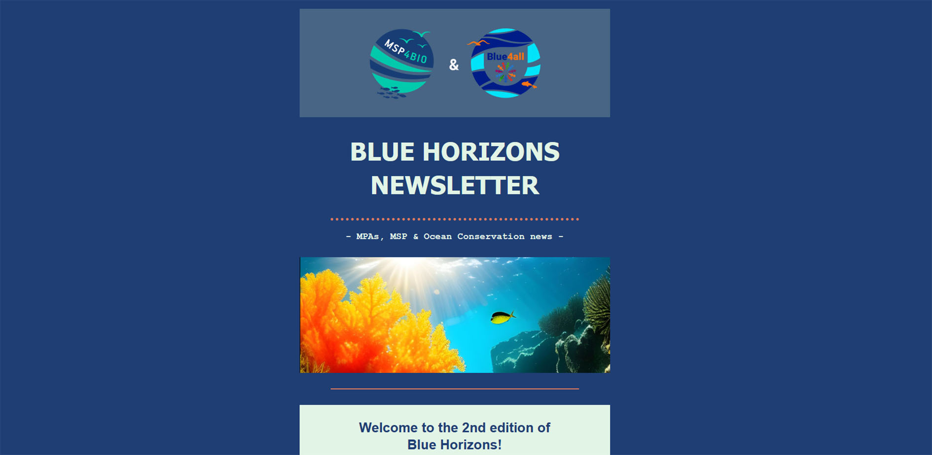
As in the first issue of our joint newsletter, to bring you the latest updates of BLUE4ALL and MSP4BIO projects, as well as the latest news on Marine Protected Areas (MPAs), Maritime Spatial Planning (MSP), and Ocean Conservation.
A highlight of this edition is a joint update on the recent workshop co-organized by BLUE4ALL and MSP4BIO at the 1st Mission Arena event in Gothenburg. Discover the insights gained and the outcomes of the workshop, including the much-anticipated ROADMAP 2030 - a comprehensive strategy addressing key goals for sustainable blue growth in the Baltic and North Seas.
Explore the progress of BLUE4ALL's Living Labs, including the co-creation of tailored tools for marine protection set to commence in 2024. Get a glimpse into MSP4BIO's interactions in Split and the Azores, showcasing the project's commitment to fostering maritime management stakeholders' engagement. Moreover, mark your calendars for upcoming events, such as the International Conference on Coastal and Marine Spatial Planning in Singapore and the Baltic Stakeholder Conference 2024.
In this issue, we also bring you external news, including the State of the Baltic Sea 2023 report, developments from the EU Blue Parks Community, and insights into the ICCAT Annual Meeting's decisions on sustainable fisheries. Don't miss announcements like the launch of the EU Blue Champions scheme and the call for abstracts for the 2024 EGU General Assembly.
The 2024 EGU General Assembly call for abstracts is open!
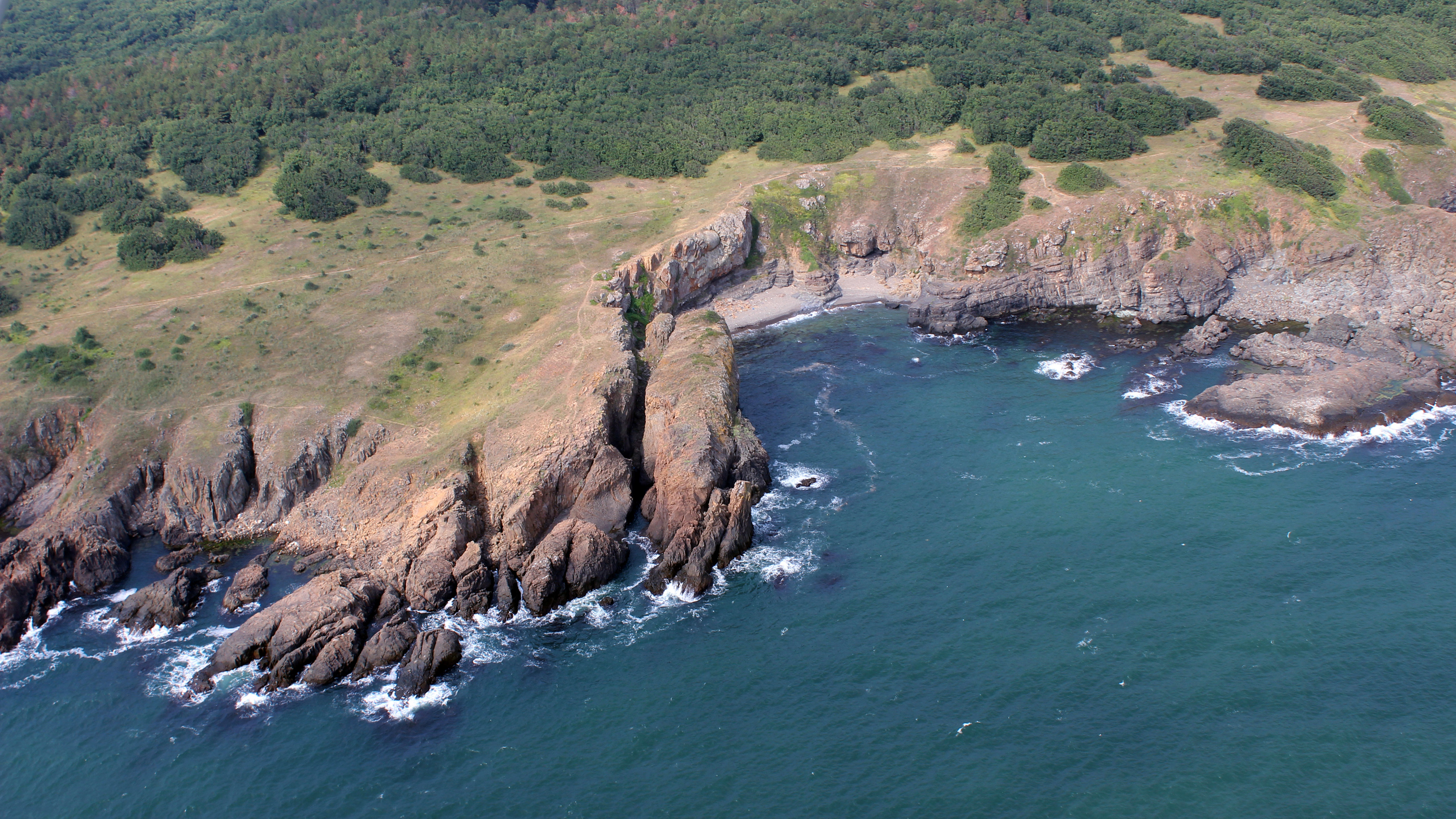
EEA briefing: How climate change impacts marine life
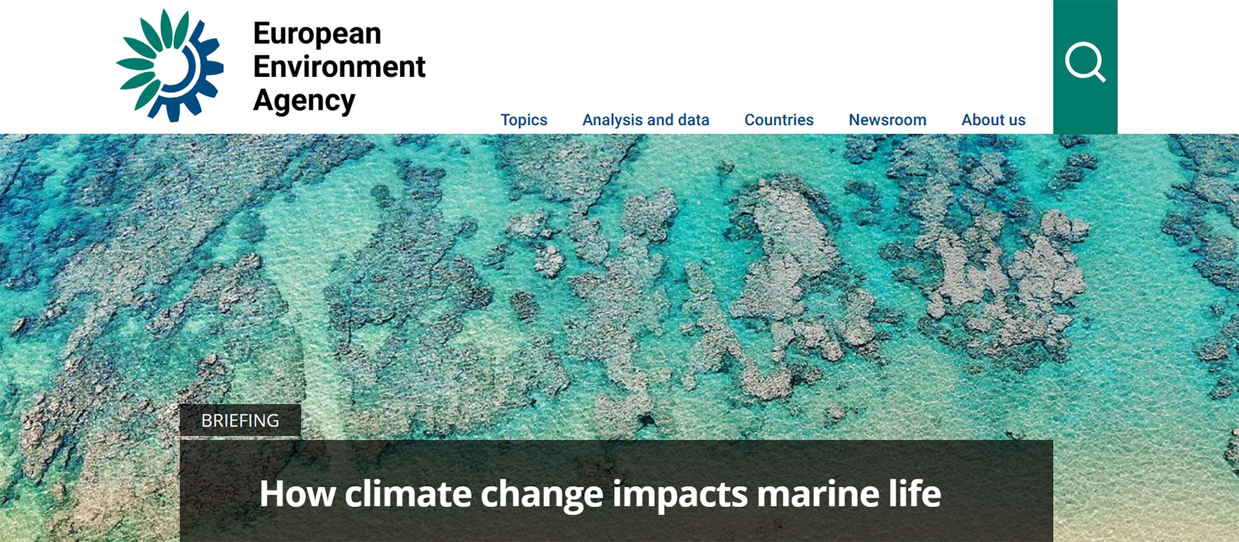
This briefing summarises some of the ways in which climate change is impacting Europe’s marine ecosystems. It identifies how various ecosystem features are influenced by climate change and spotlights potential areas of concern. It also highlights areas where marine life may be more impacted by climate change compared with other areas. This work supports the recent integration of climate change as a key consideration in the Marine Strategy Framework Directive (MSFD). It does this by presenting a spatial description of the vulnerabilities of marine areas to climate change.
Key messages
• Europe’s marine areas and marine life are unequally vulnerable to climate change. Recent research indicates that climate change may account for up to half of the combined impacts on marine ecosystems.
• Semi-enclosed seas (Baltic and Adriatic for example), and shallow coastal areas are more vulnerable to climate change compared to deeper, offshore areas.
• Most species are in a degraded state across Europe’s seas. Bony fish are potentially the only positive exception.
• Bottom-living communities and fish are more vulnerable than highly mobile mammals and birds, for example. This potentially impacts the whole marine food web and dependent fisheries.
• Globally, oceans are changing. Ocean warming (0.88°C higher in 2011-2020 compared to 1850-1900), oxygen loss (down 3-4% by 2100) and ocean acidification (decreased pH by 30% in 2023 compared to 1700) may be occurring at a speed that may be too fast for species to adapt to the changes.
Read the full briefing here!