
Center for Coastal & Marine Studies
CALL FOR PAPERS: COASTAL TRANSITIONS III CONFERENCE 2023. RE-IMAGINING COASTAL TRANSITIONS: DIVERSE BLUE ECONOMIES
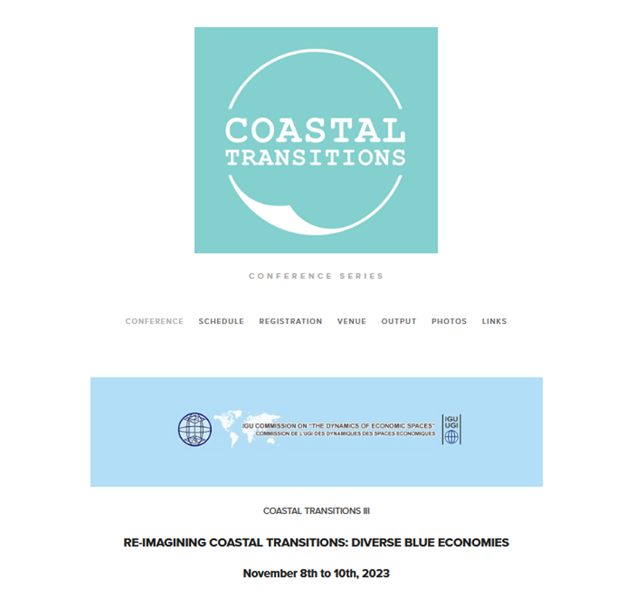
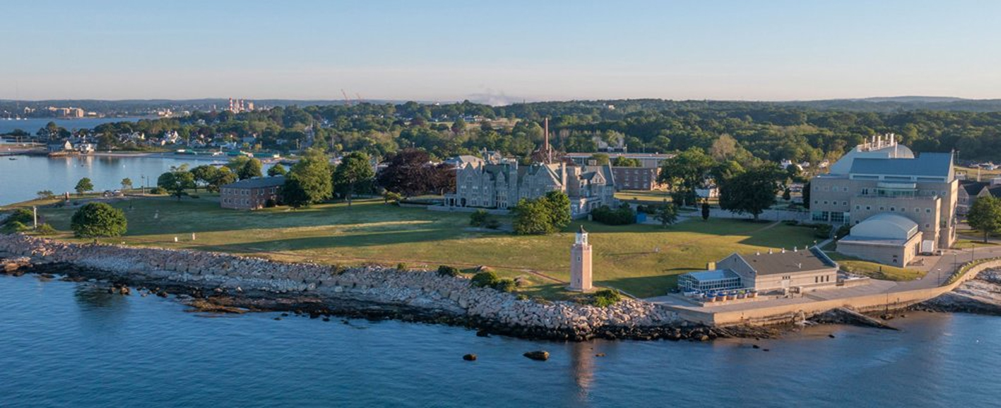
RE-IMAGINING COASTAL TRANSITIONS: DIVERSE BLUE ECONOMIES. COASTAL TRANSITIONS III CONFERENCE will be held in November 8 to 10 at the University of Connecticut Avery Point Campus, Groton, Connecticut, 2023.
This conference aims to re-imagine the Blue Economy, not as a business-as-usual approach to economic development, but as an innovative framework that recognizes the diversity of economies, facilitates energized transdisciplinary dialogue and enables multi-stakeholder activation and empowerment in order to radically reframe coastal and marine economies.
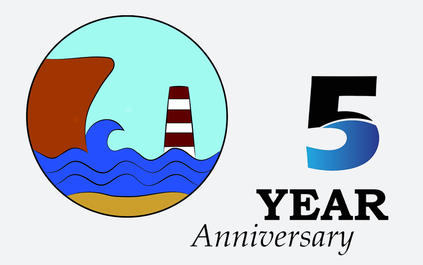
HAPPY BIRTHDAY TO CCMS: CELEBRATING 5 YEARS OF VIBRANT COASTAL AND MARINE STUDIES
CCMS is directly advised by Advisory Committee (AC), which involves seventeen distinguished and outstanding scientists and experts from different institutes, universities and organizations all around the globe (Australia, Belgium, Greece, Columbia, Estonia, Germany, Italy, Poland, Romania, Spain, Turkey, United Kingdom, USA and Bulgaria). For more information on AC members explore the section for AC on our webpage: http://www.ccms.bg/en/about-ccms/advisory-committee.
Successful Conclusion of the Fifth International Marine Protected Areas Congress (IMPAC5)

Vancouver, British Columbia, 3-9 February 2023
Fifth International Marine Protected Areas Congress (IMPAC5)
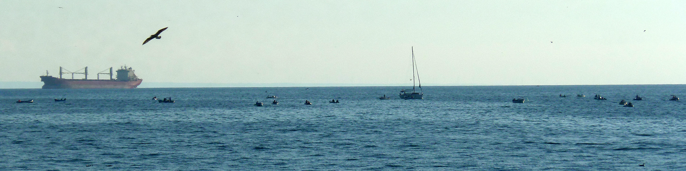
Oceans play an essential role in the lives of people around the world. To promote the long-term sustainability of the world ocean and ensure that future generations are able to benefit from our marine resources, the global community must work together to combat climate change and address biodiversity loss affecting ocean ecosystems.
During the Leadership Forum, the Ministers, alongside representatives from governments and leaders from Indigenous, environmental, philanthropic, academic and private organizations, industry, as well as young professionals, discussed the results achieved at IMPAC5. Attendees emphasized the importance of global cooperation in achieving marine conservation targets and focused on the essential role of Indigenous-led conservation efforts. Participants also addressed the need for increased protection of biodiversity through the use of marine protected areas and highlighted the role of marine conservation financing in achieving shared commitments, including Canada’s ambitious conservation goals of conserving 30 per cent of its oceans by 2030.
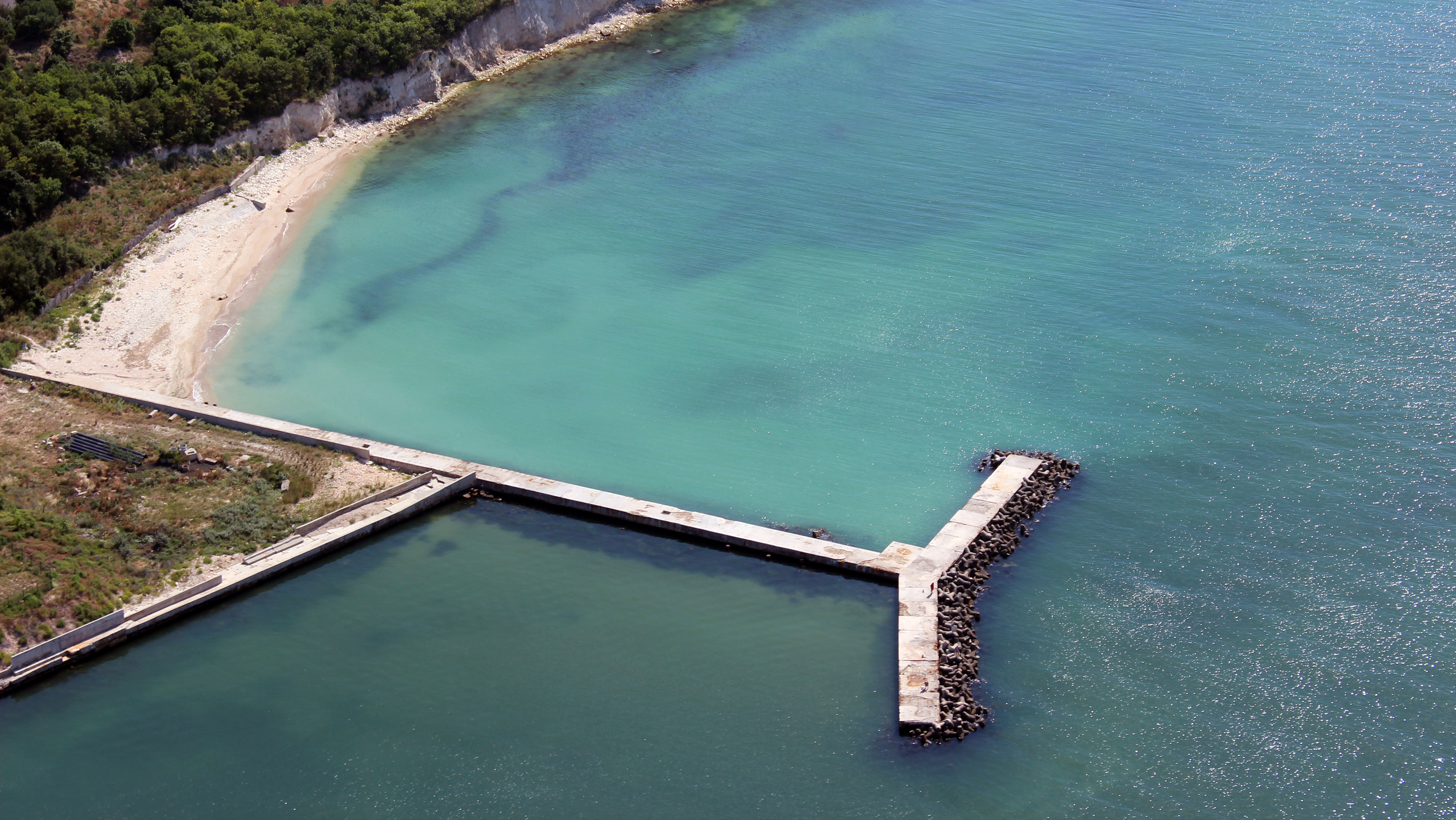
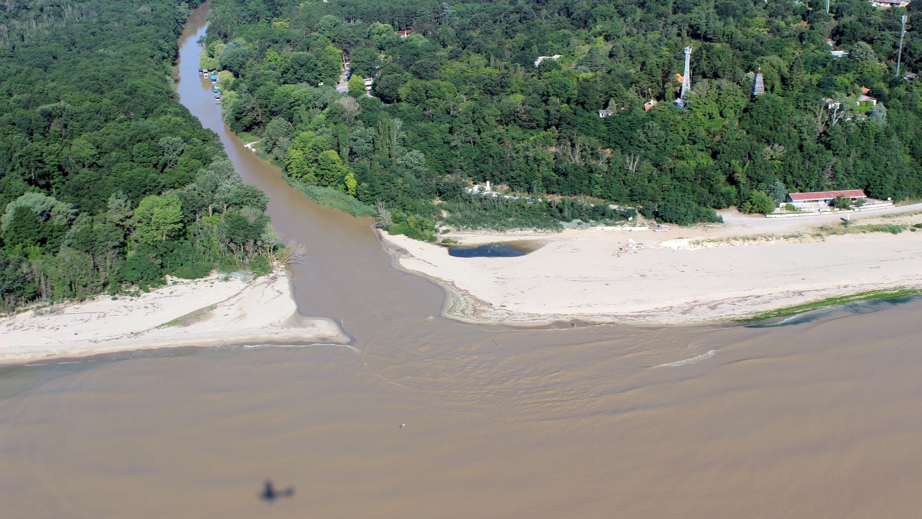
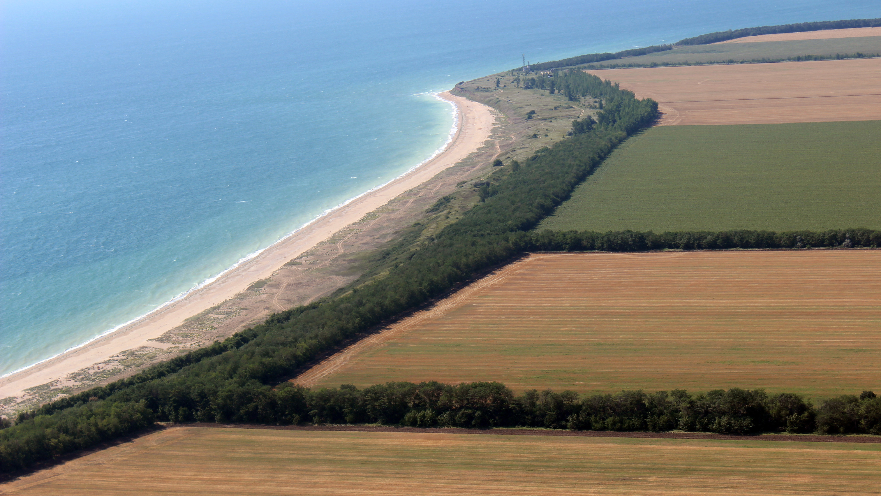
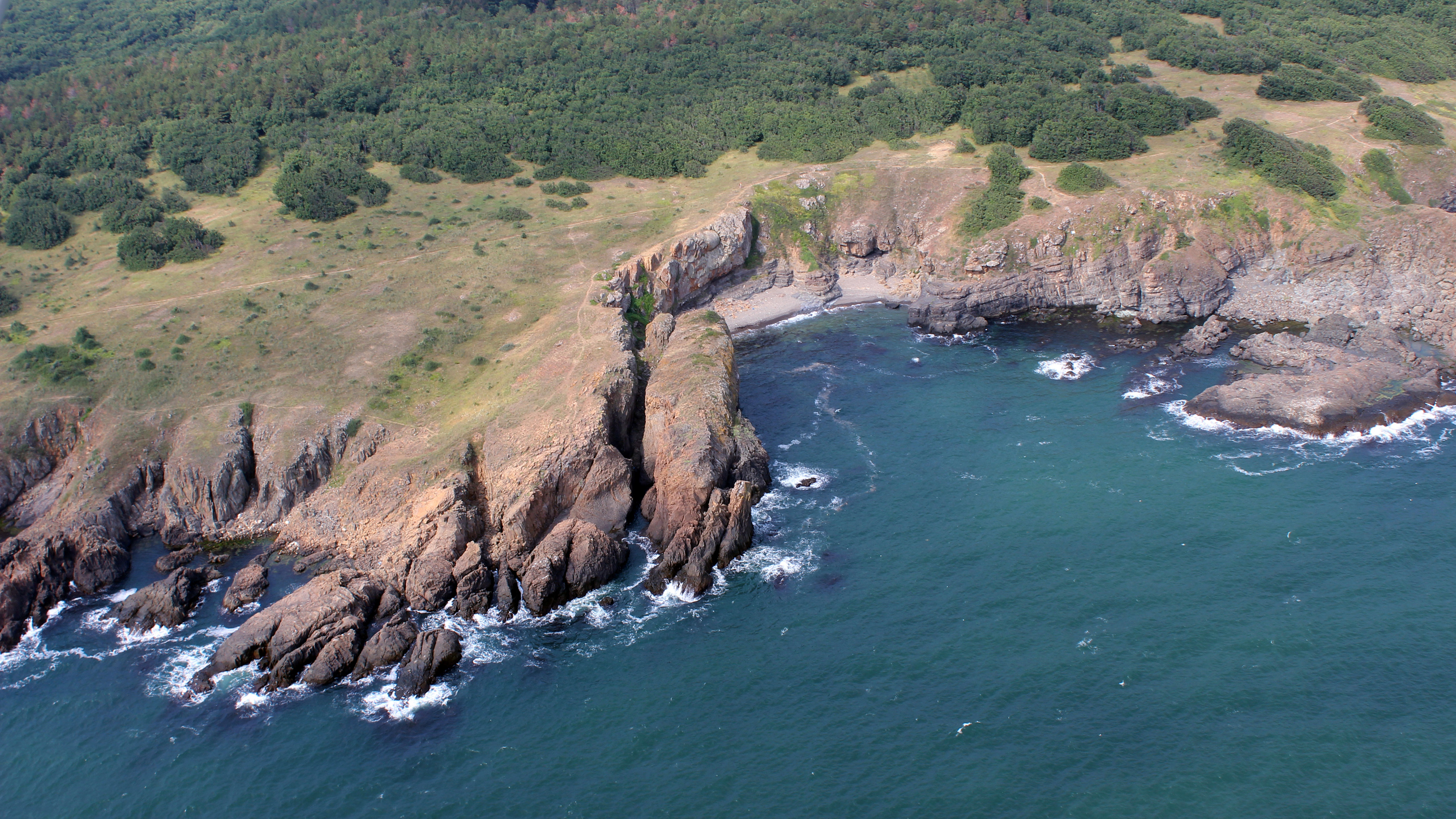
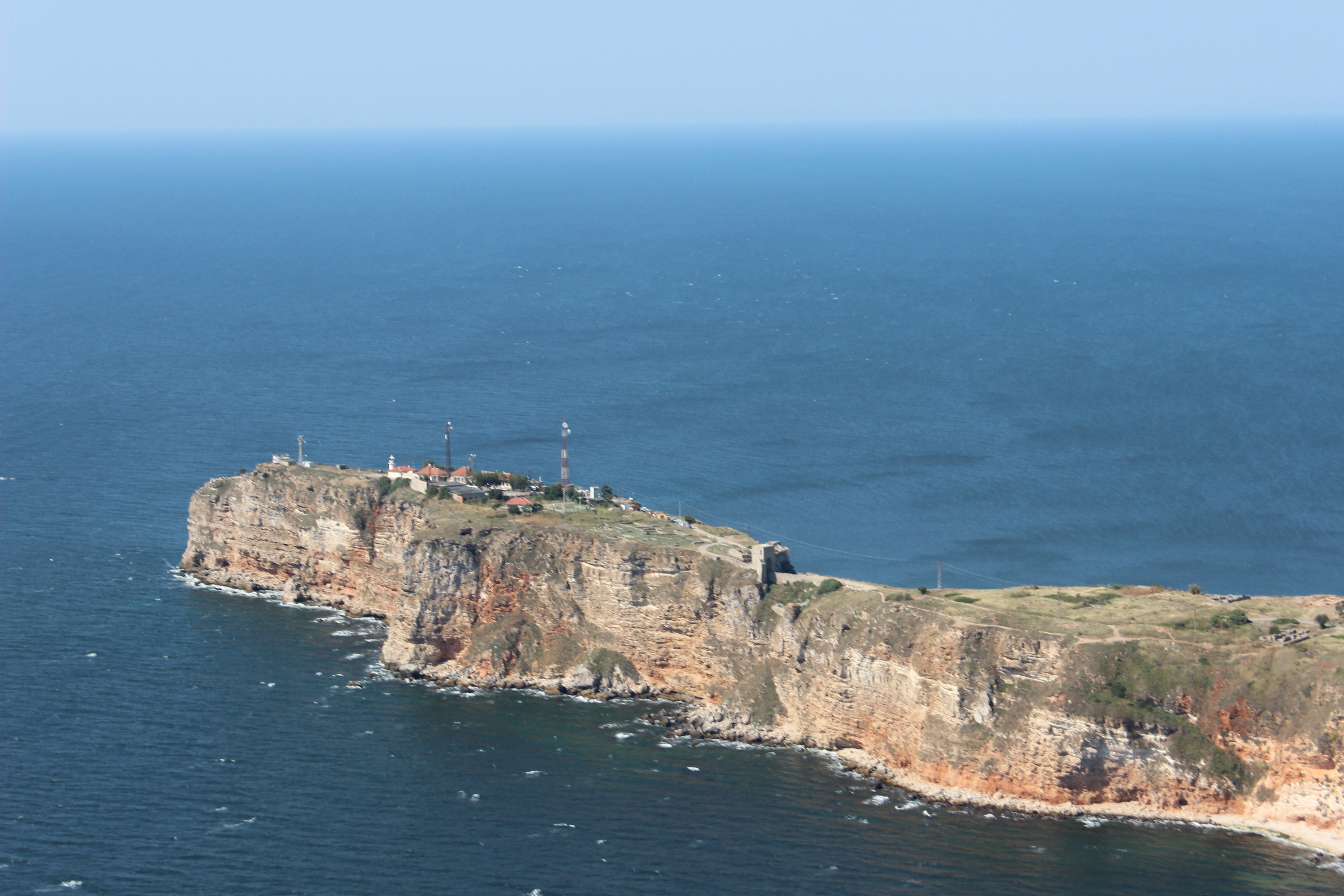
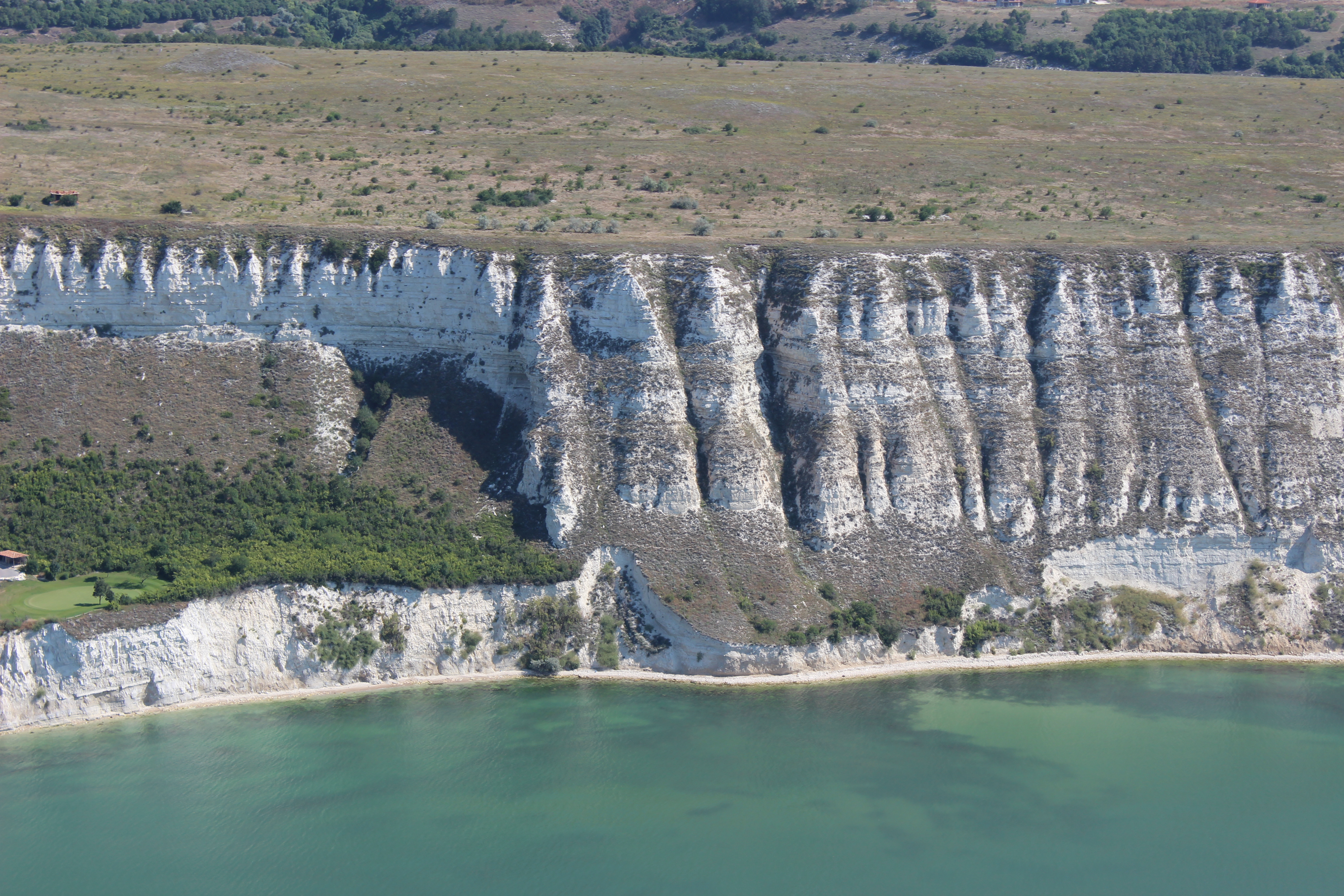
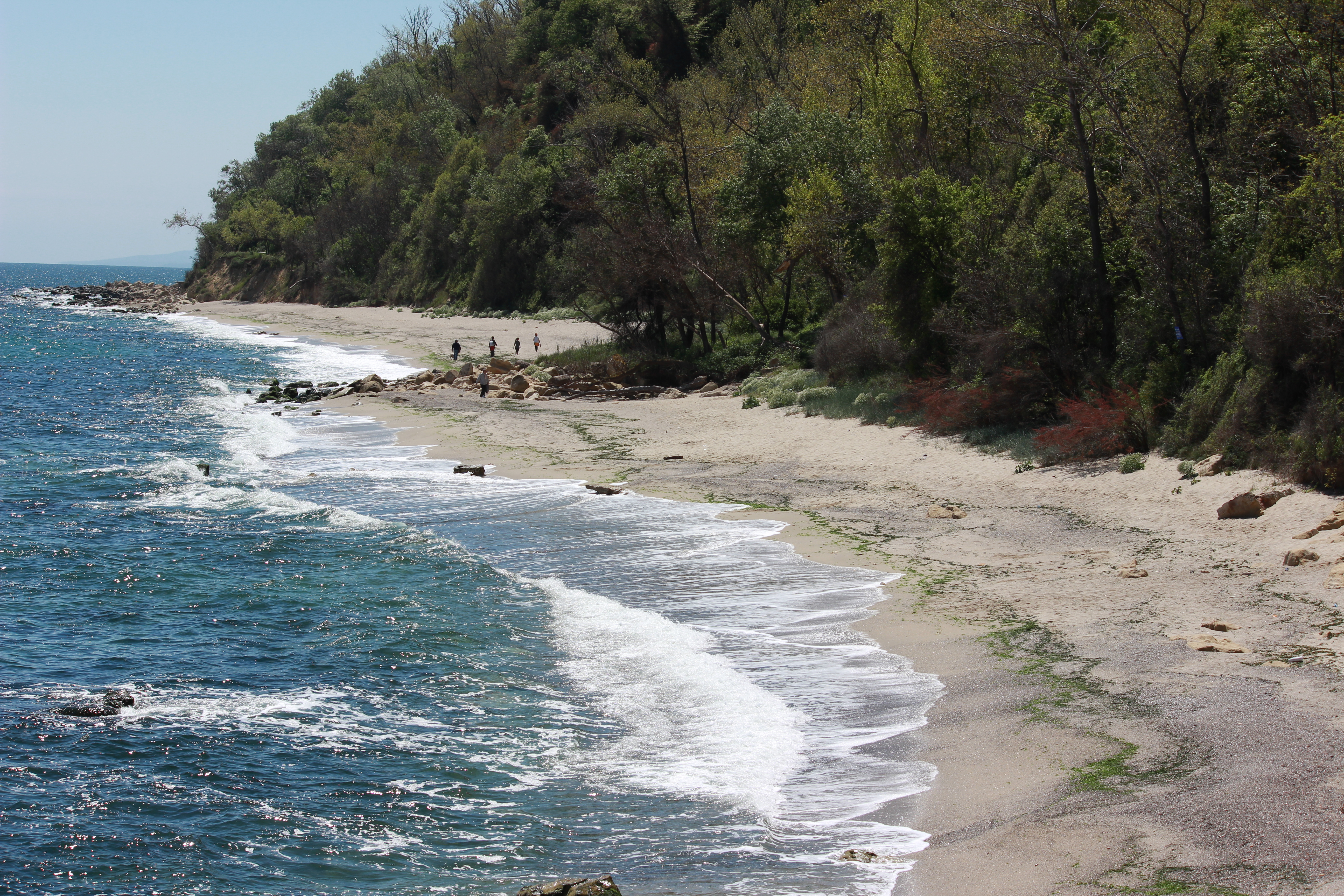
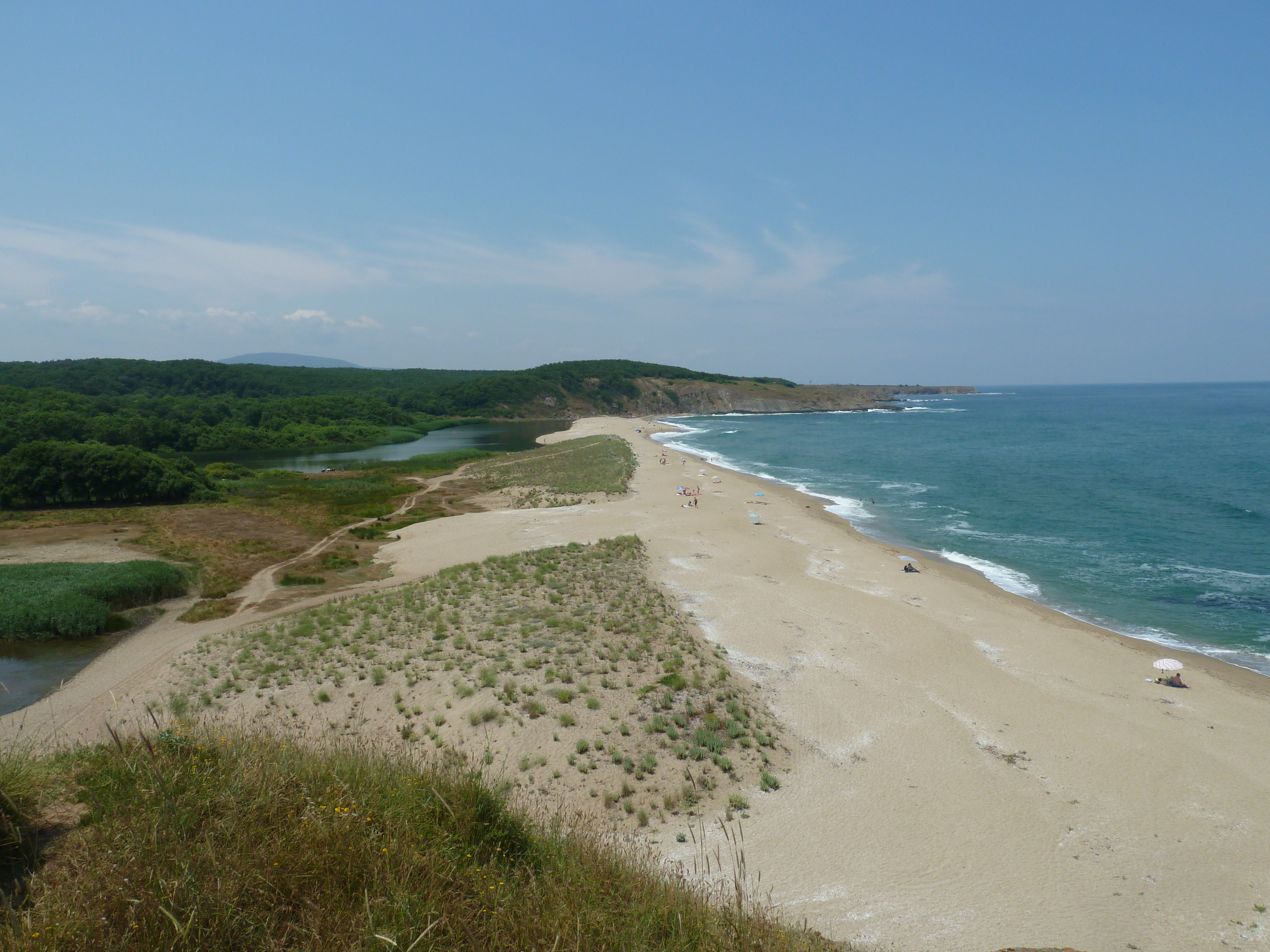
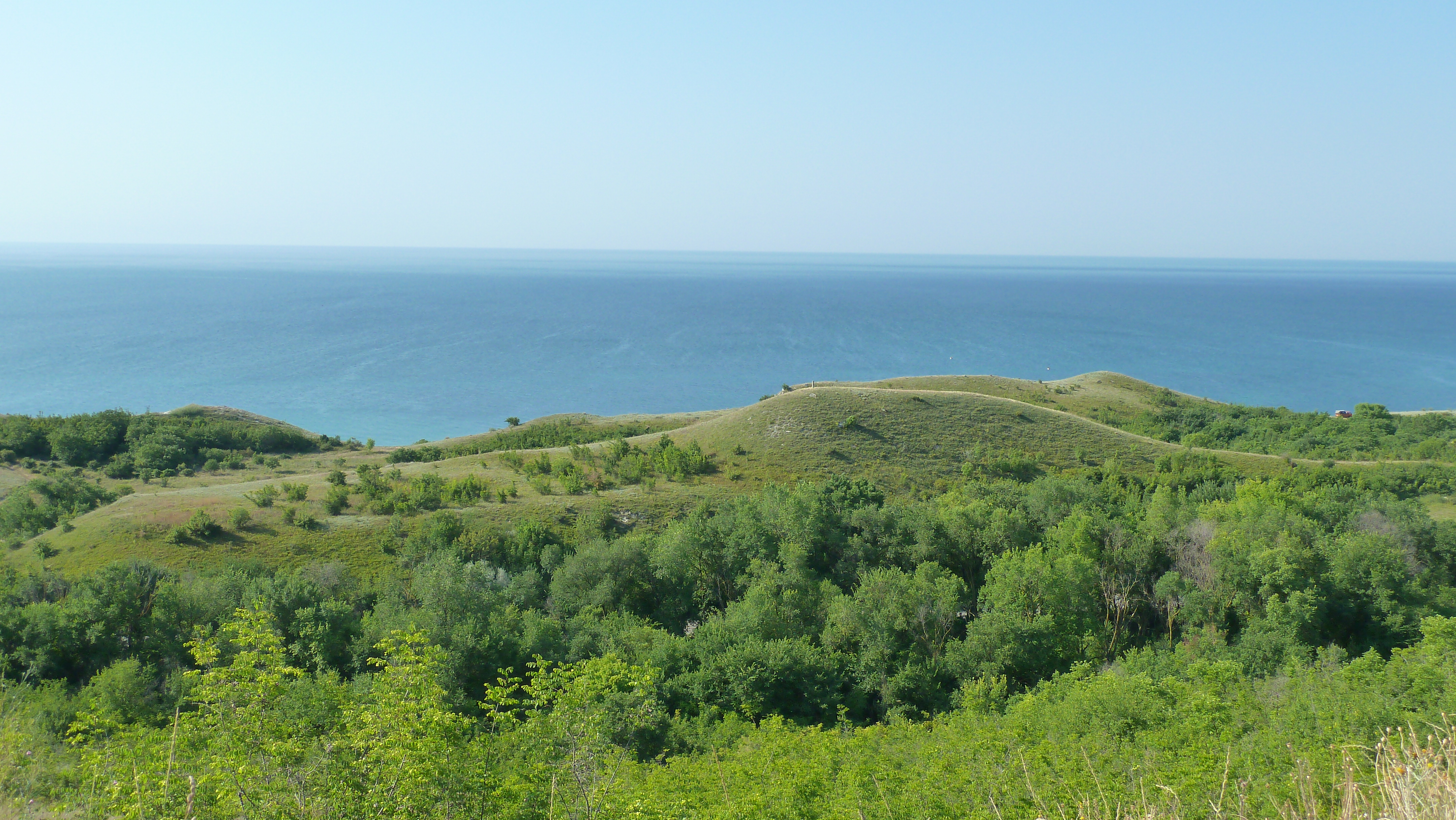
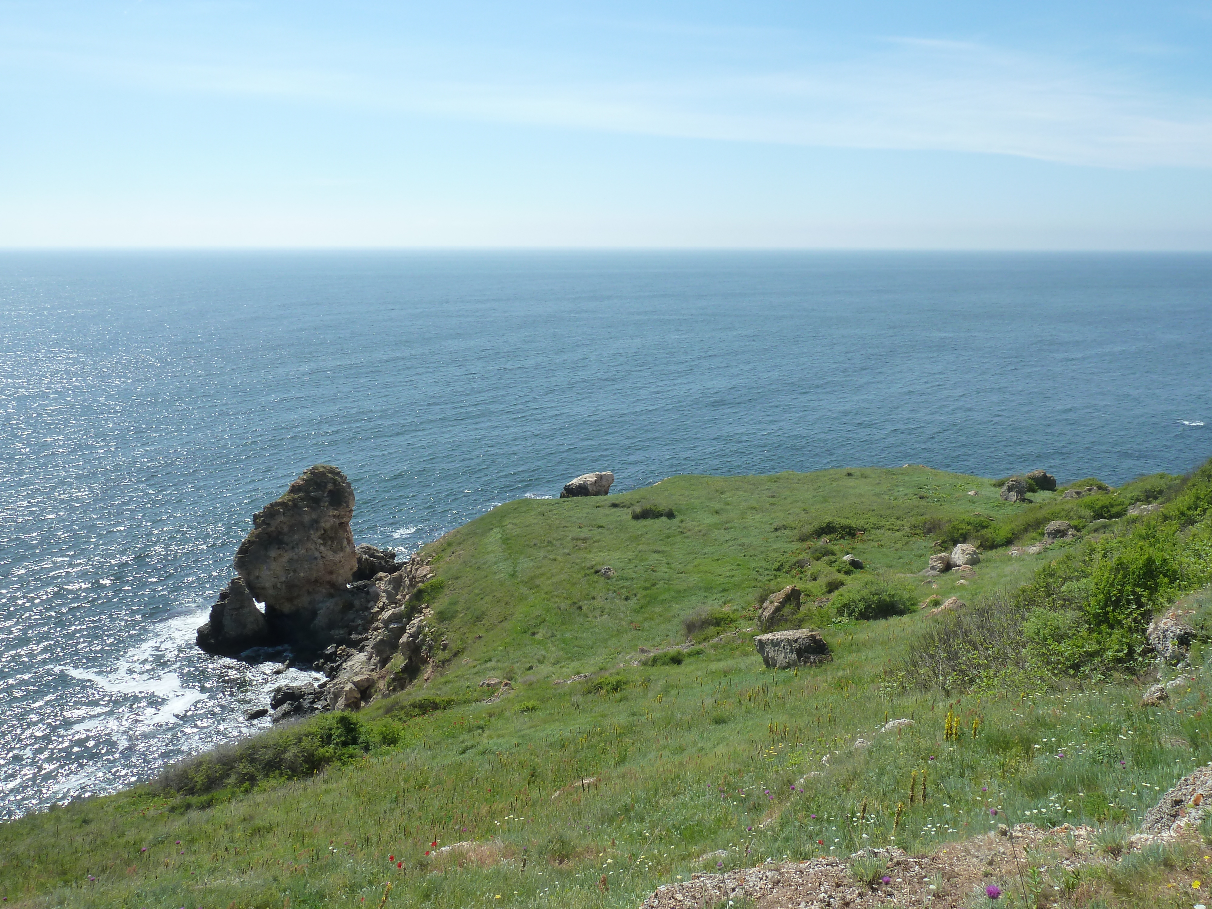
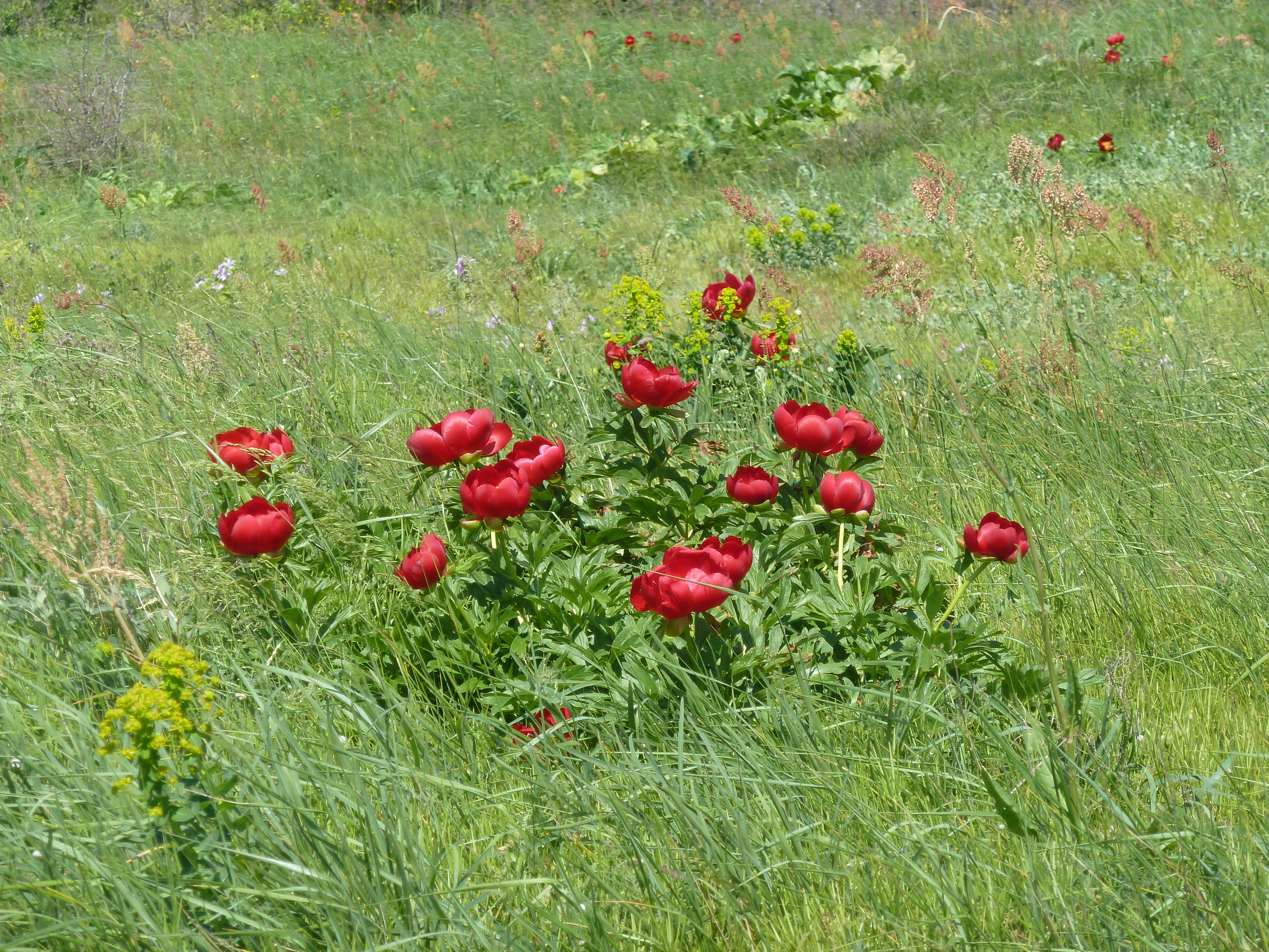
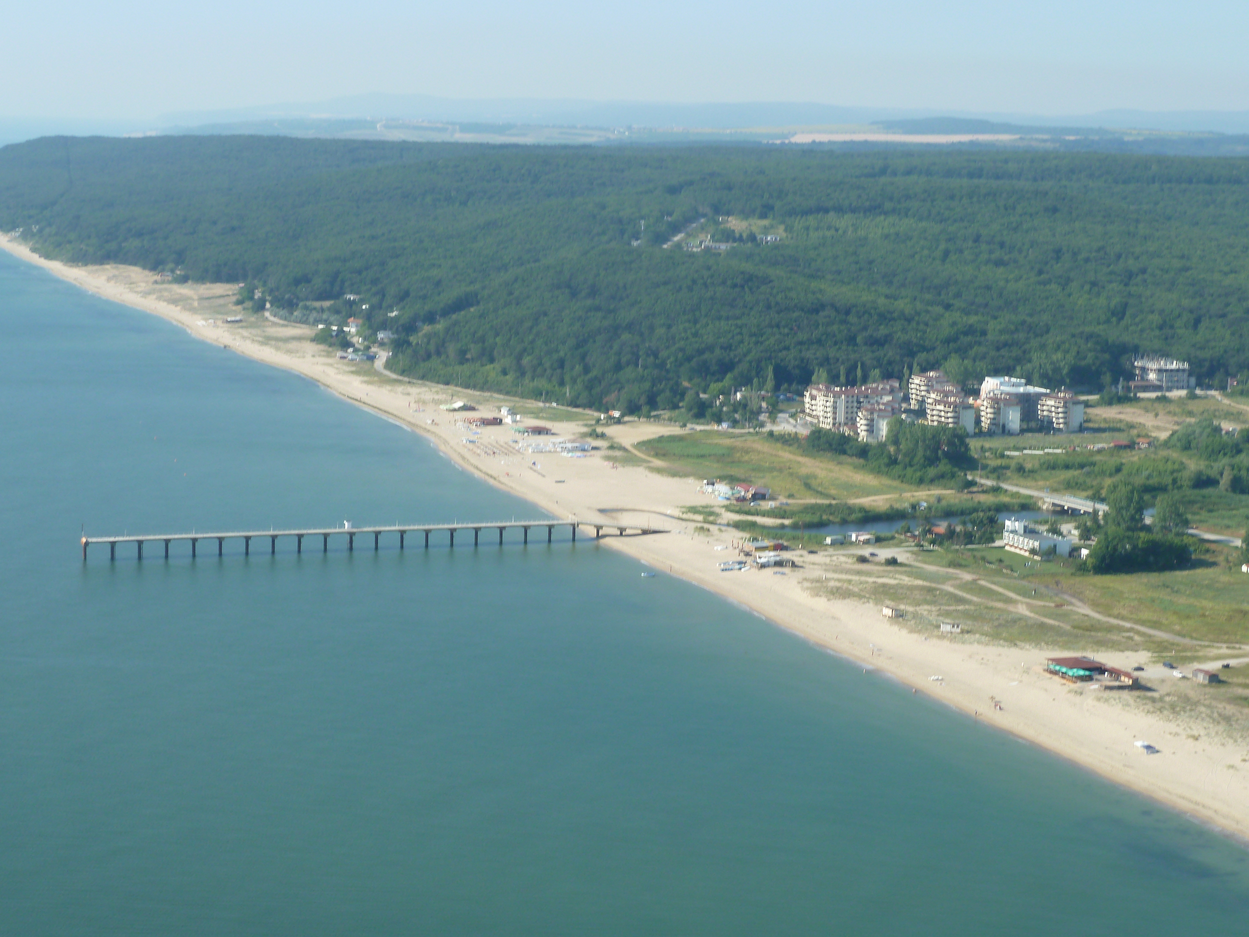
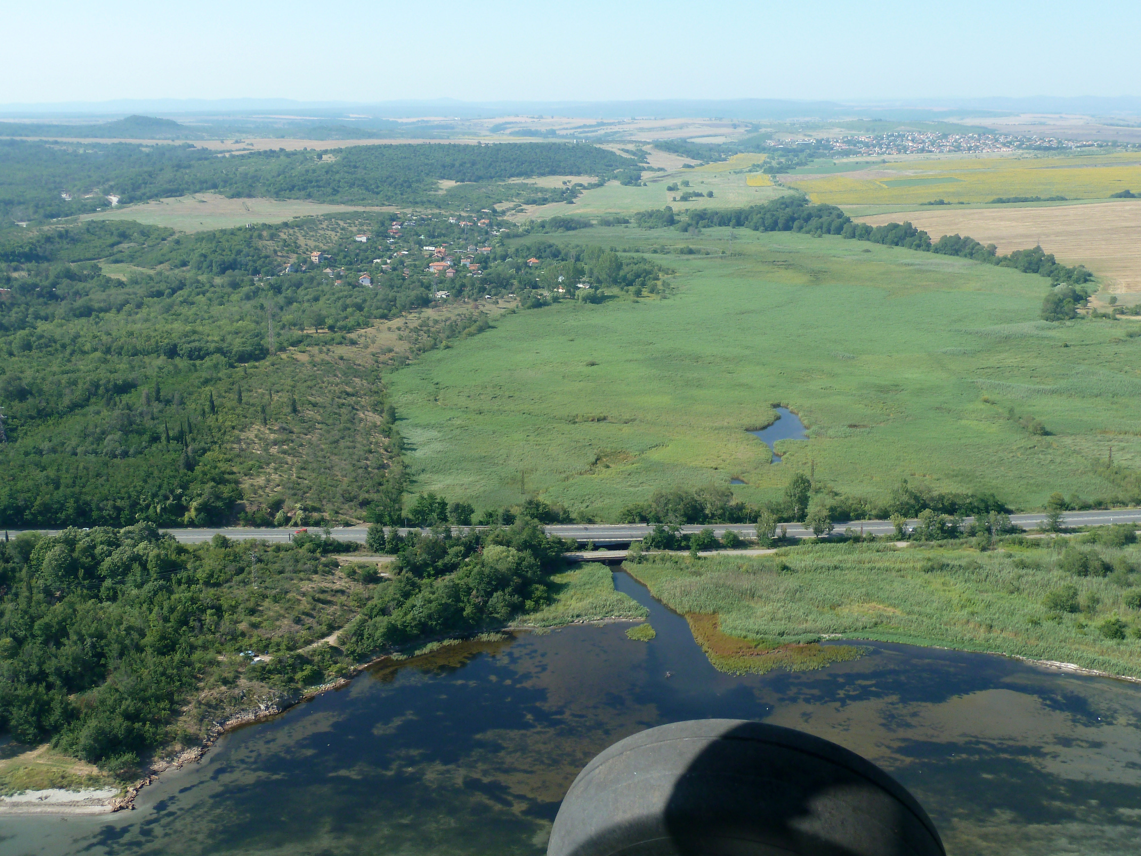
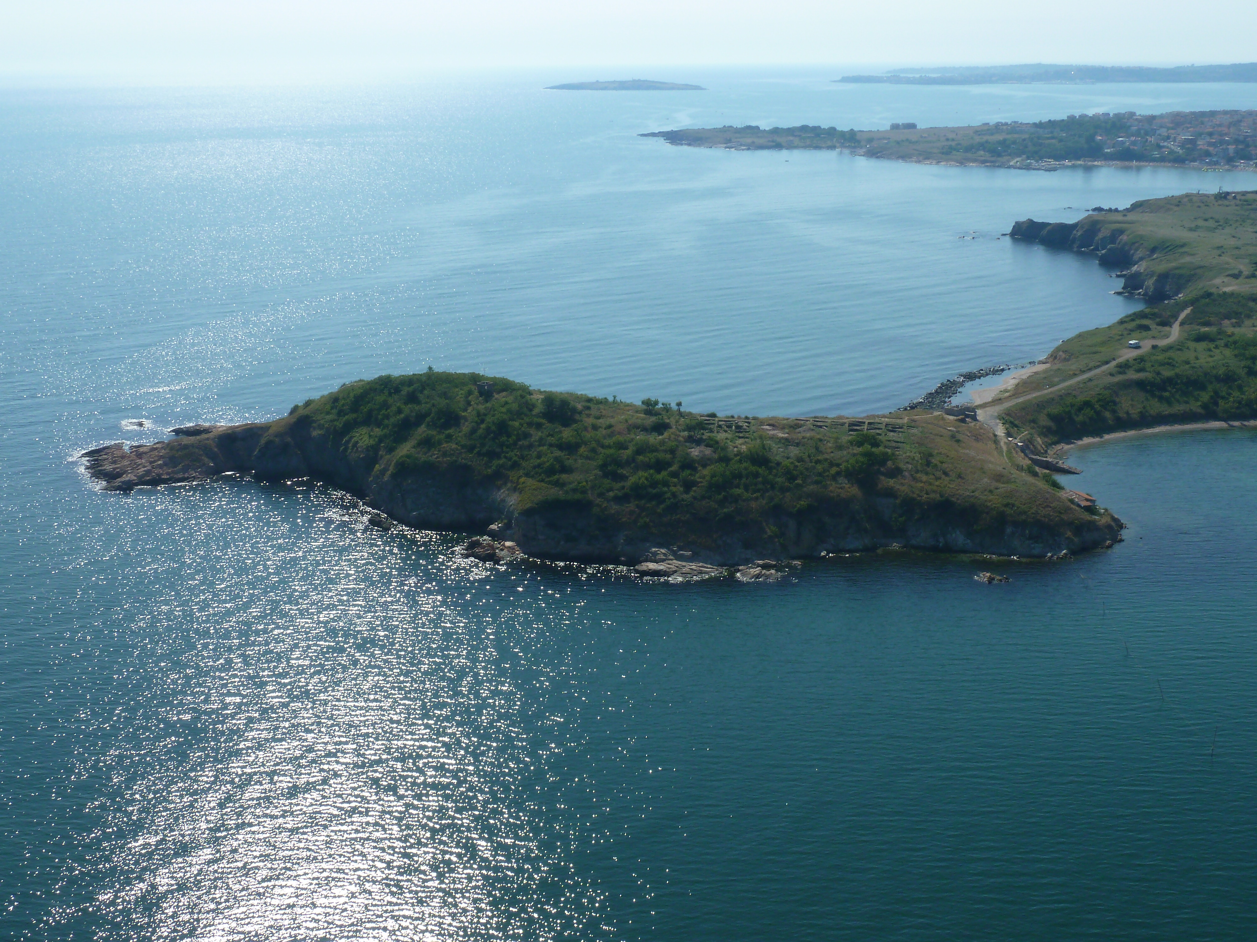
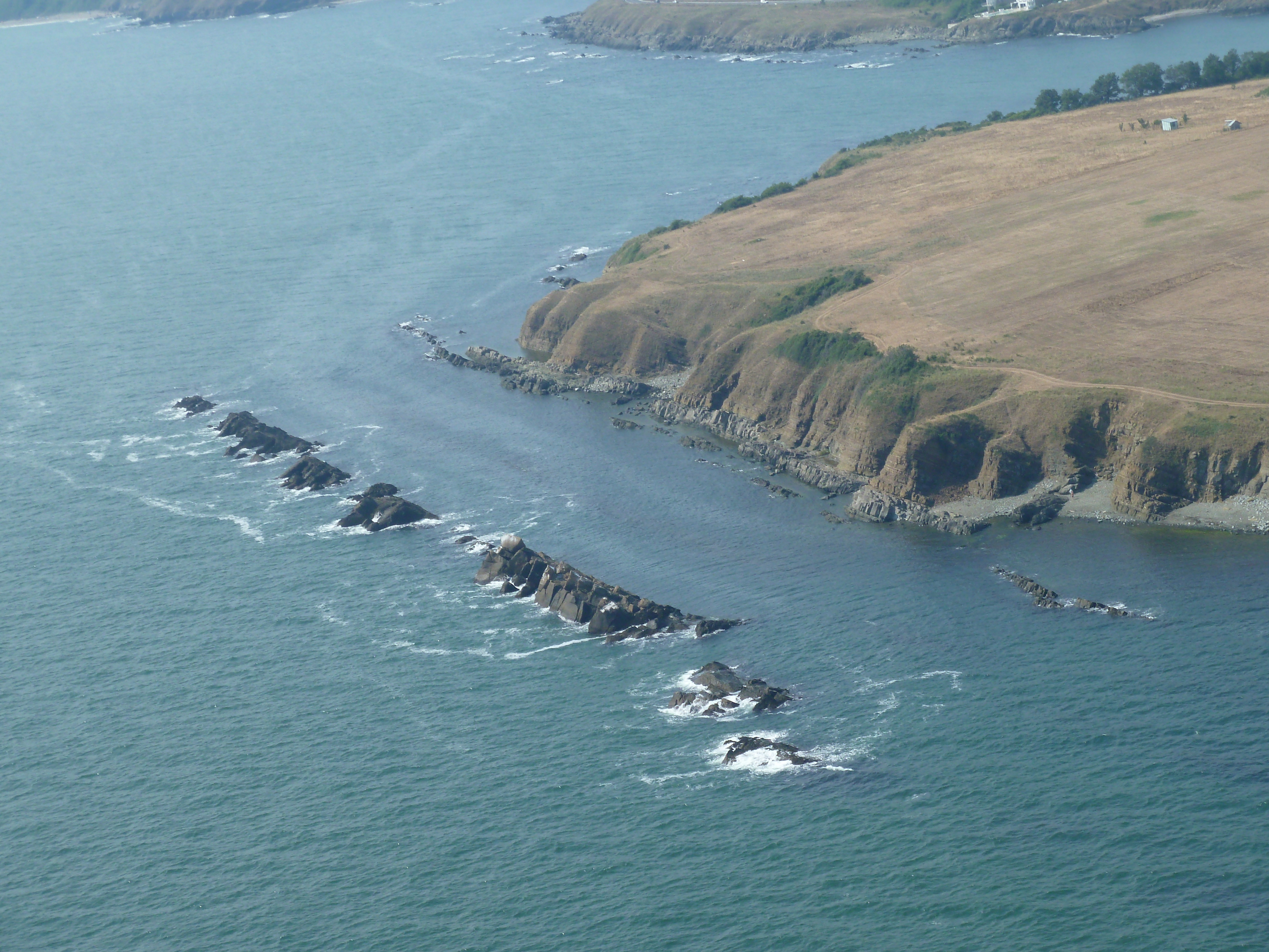
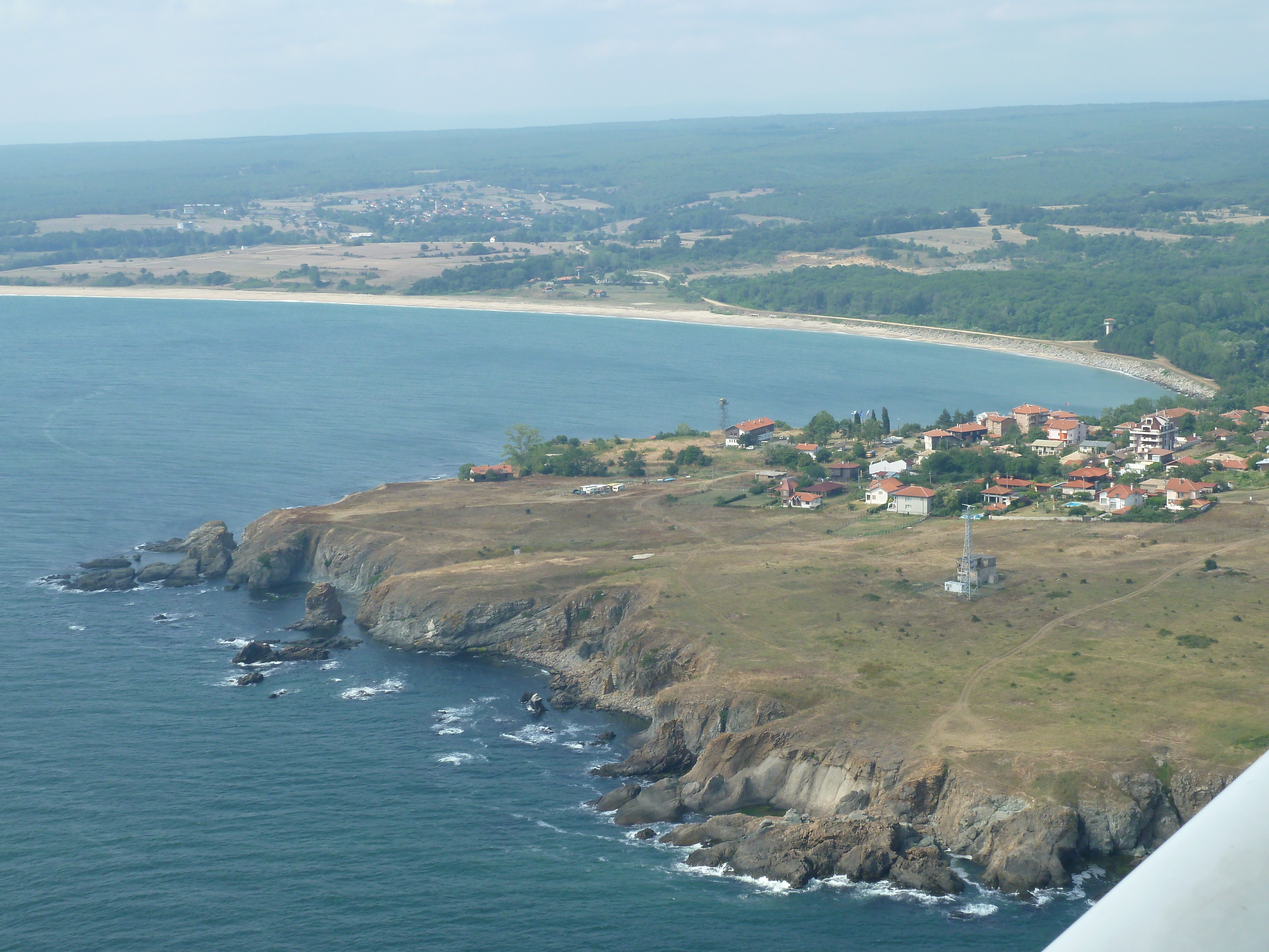
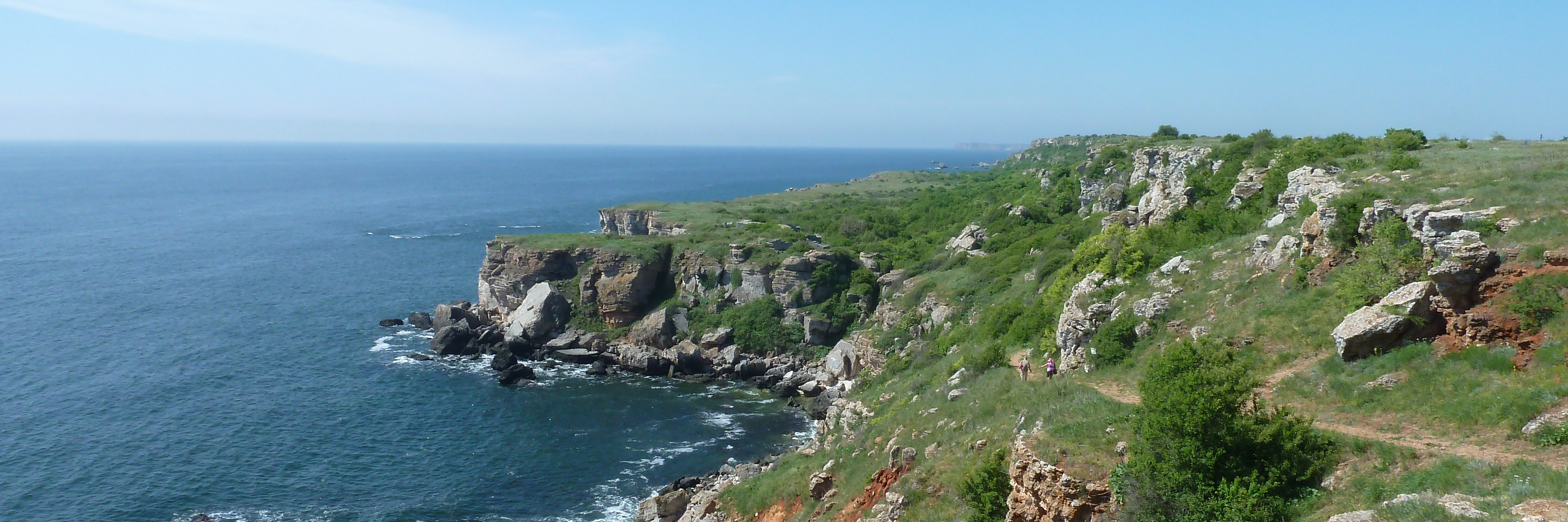
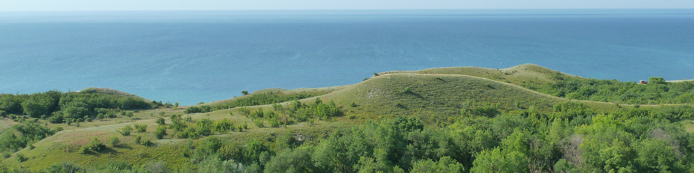
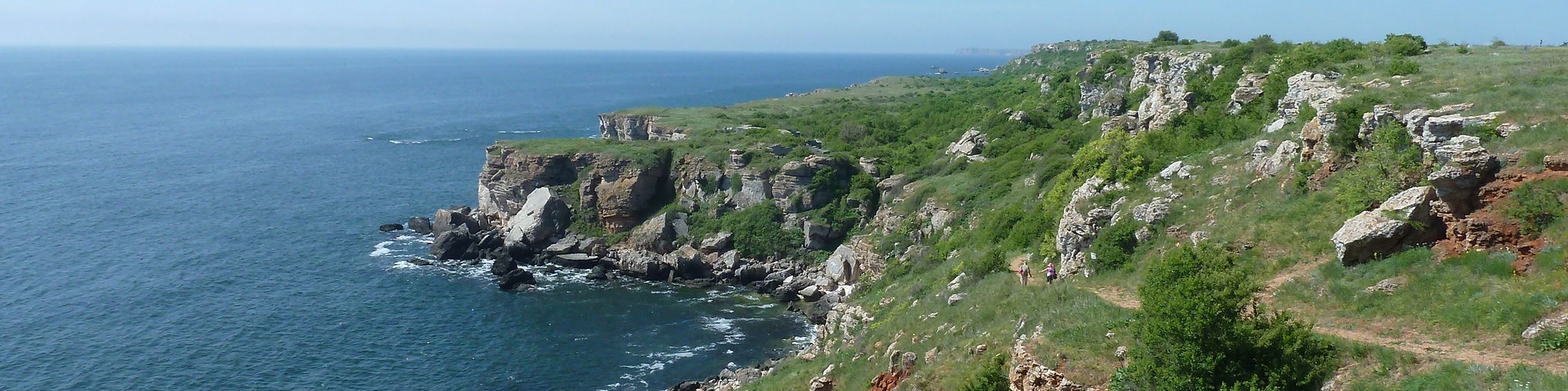
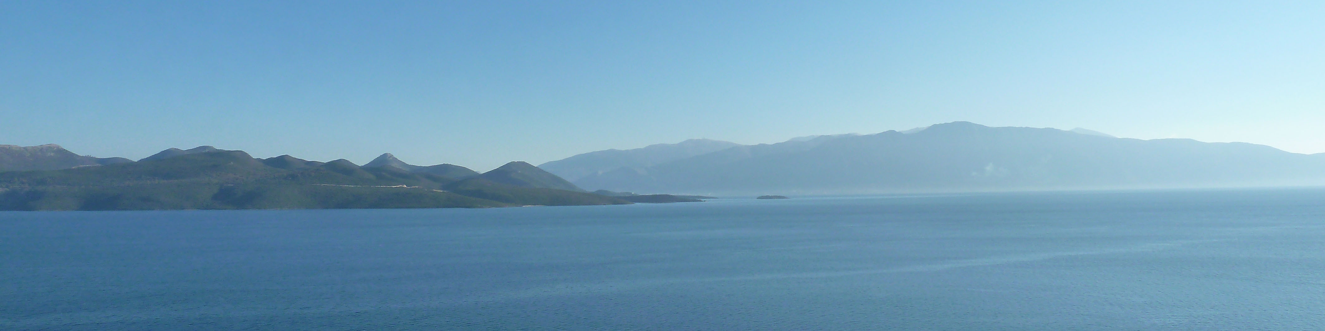
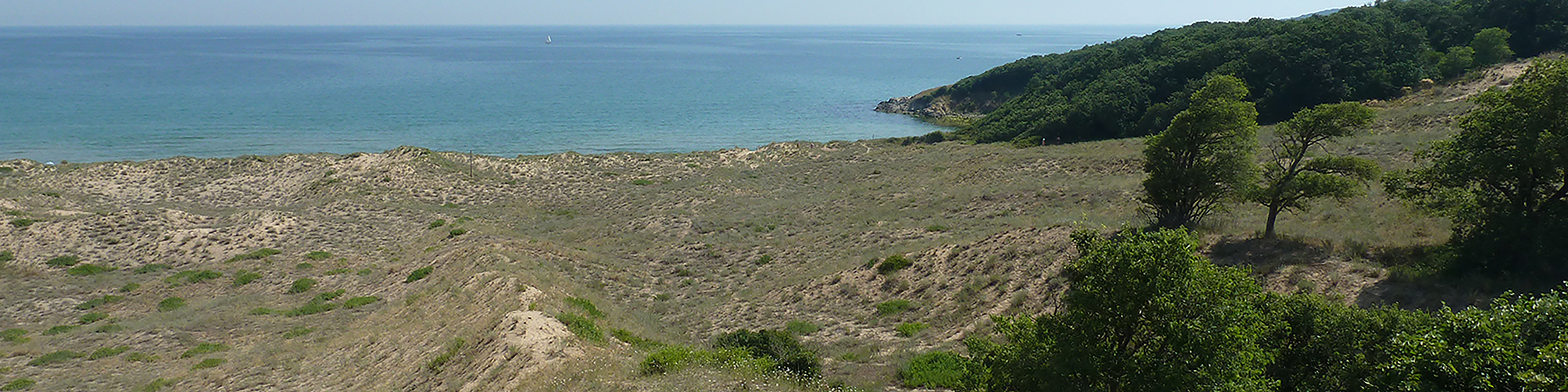
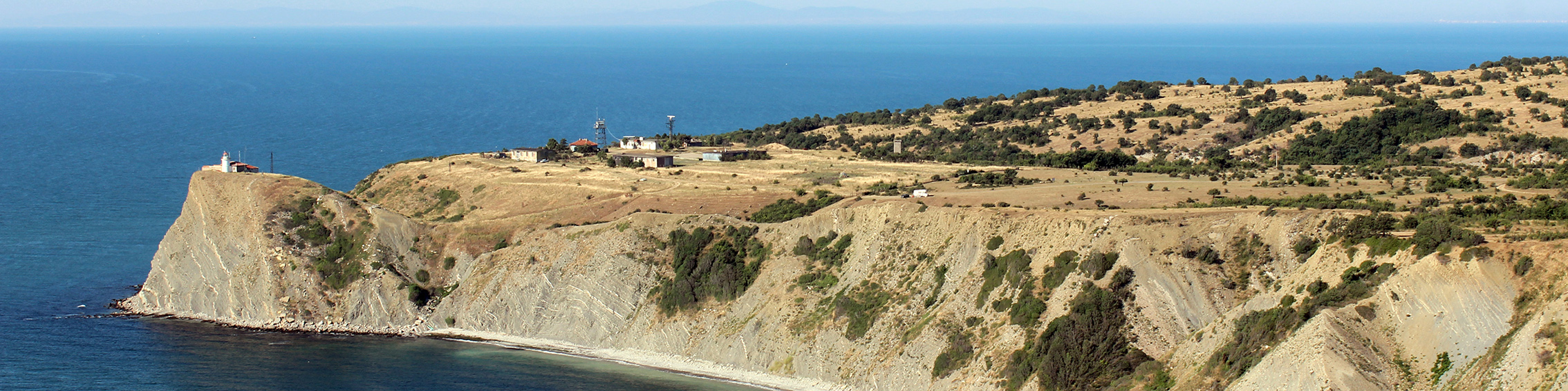
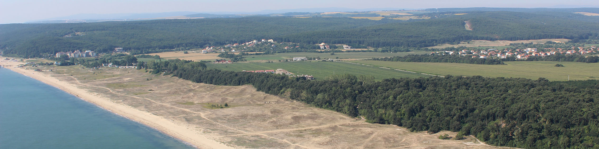
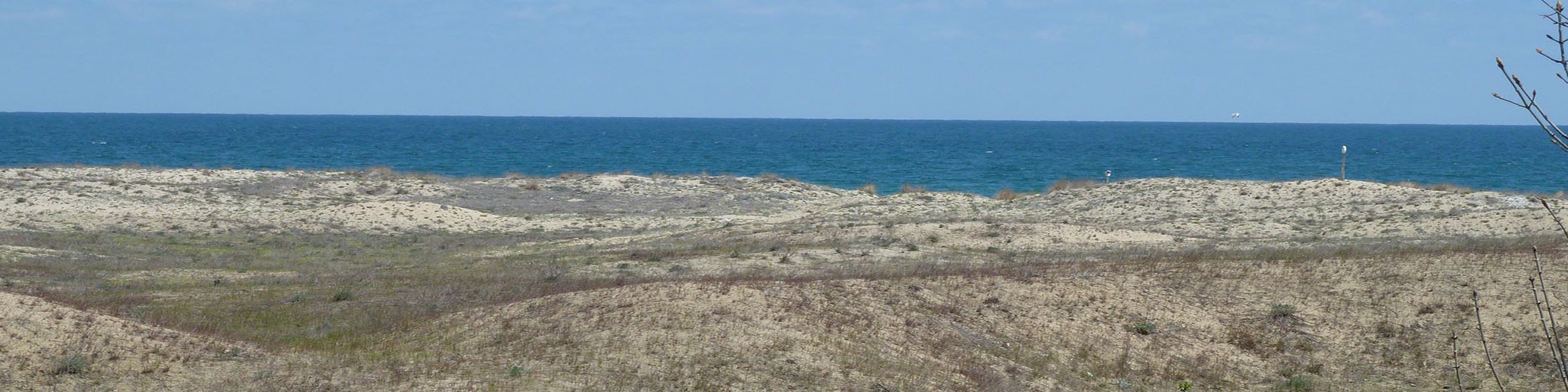
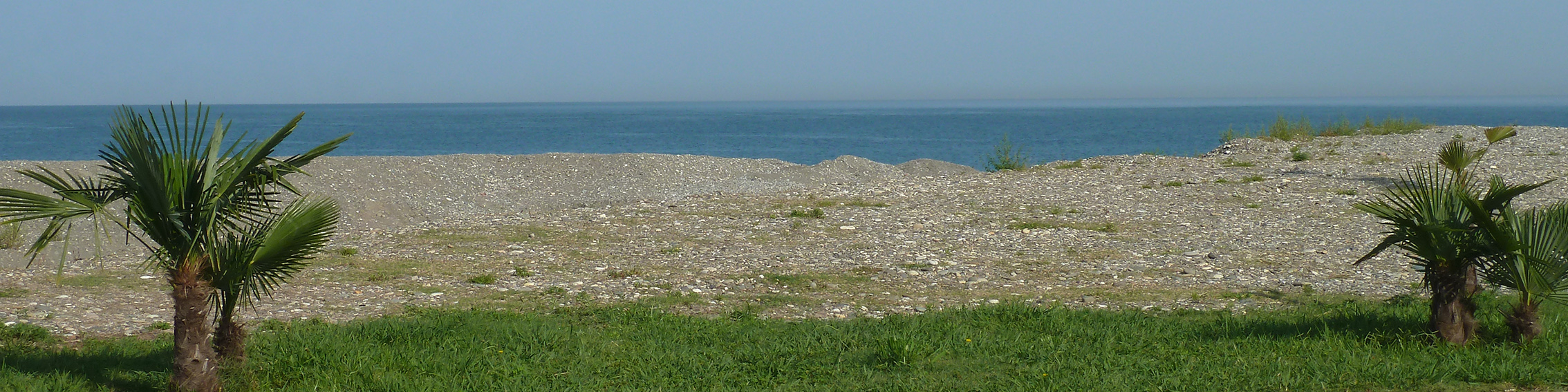
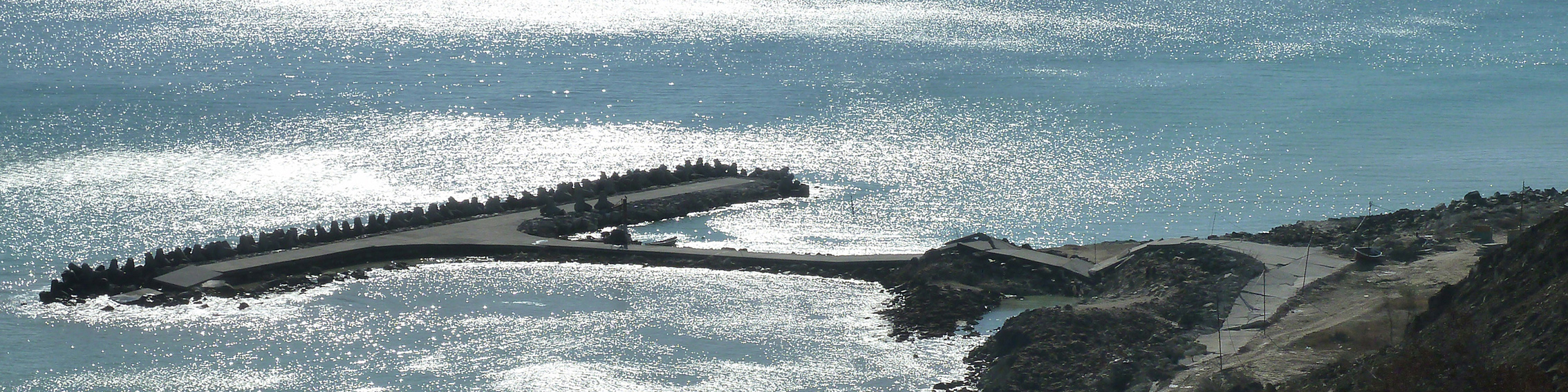
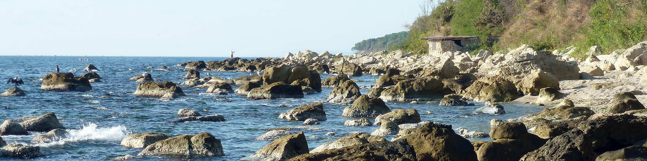
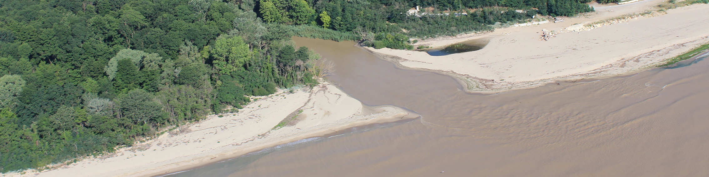
Special Issue Reprint "Land Modifications and Impacts on Coastal Areas" has been published online and is freely accessible
We are pleased to announce that the Special Issue Reprint "Land Modifications and Impacts on Coastal Areas" to which the CCMS team contributed has been published online and is freely accessible on the MDPI Books platform:
https://www.mdpi.com/books/book/6619-land-modifications-and-impacts-on-coastal-areas
The reprint book will be listed in book databases and is available through several distribution platforms. Furthermore, the reprint can be purchased as a printed copy directly from MDPI website.