News
New study on MSP Tools and Guidance
CCMS took part and contributed to Bulgaria`s case study in the recently published European Commission`s study on tools and guidance documents for MSP Practitioners and other interested parties in the implementation, monitoring and evaluation of MSP. CCMS expert participated also in the review meeting organised to validate the findings with external experts.
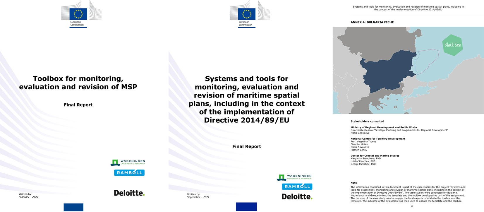
Toolbox for monitoring, evaluation and revision of MSP, February 2022
The objective of the study is to provide guidance to administrators in monitoring, evaluating and revising their maritime spatial plans, in particular in the context of the implementation of the Directive 2014/89/EU on Maritime Spatial Planning (or MSP Directive). To this end, the project provides a “guide” and a “toolbox”. The guide aims to enable EU Member States administrations to assess progress in the implementation of the EU MSP Directive. Key issues are identified that Member States could consider when establishing and executing their maritime spatial plans including, but not limited to, the requirement formulated in Directive 2014/89/EU and the intricate relations between Directive 2014/89/EU and other EU Directives. The toolbox is a comprehensive set of methods and tools that national administrations can draw upon when monitoring, evaluating and/or revising their maritime spatial plans.
“Baltic countries lead EU for sustainable sea space management, still the nature is at risk”, concludes recent evaluation by WWF
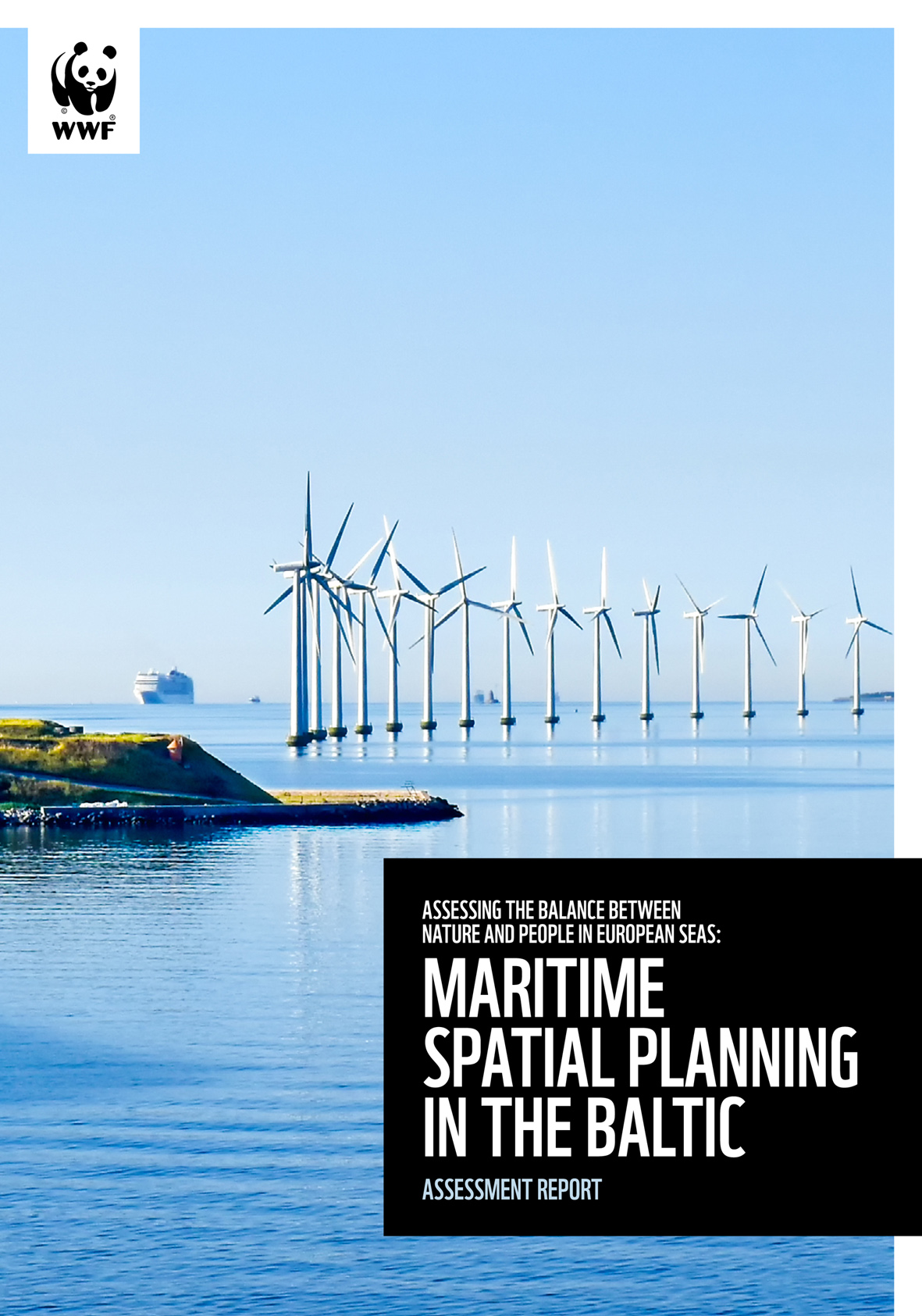
The WWF’s Baltic Ecoregion Programme evaluated Baltic EU Member States’ Maritime Spatial Planning (MSP) strategies for sustainably managing marine areas and resources and concluded that Baltic countries’ plans at sea still lack harmony across borders, and measures to restore and protect ecosystems are inadequate.
BlueInvest: Commission and EIF agree to mobilise €500 million with new equity fund for blue economy
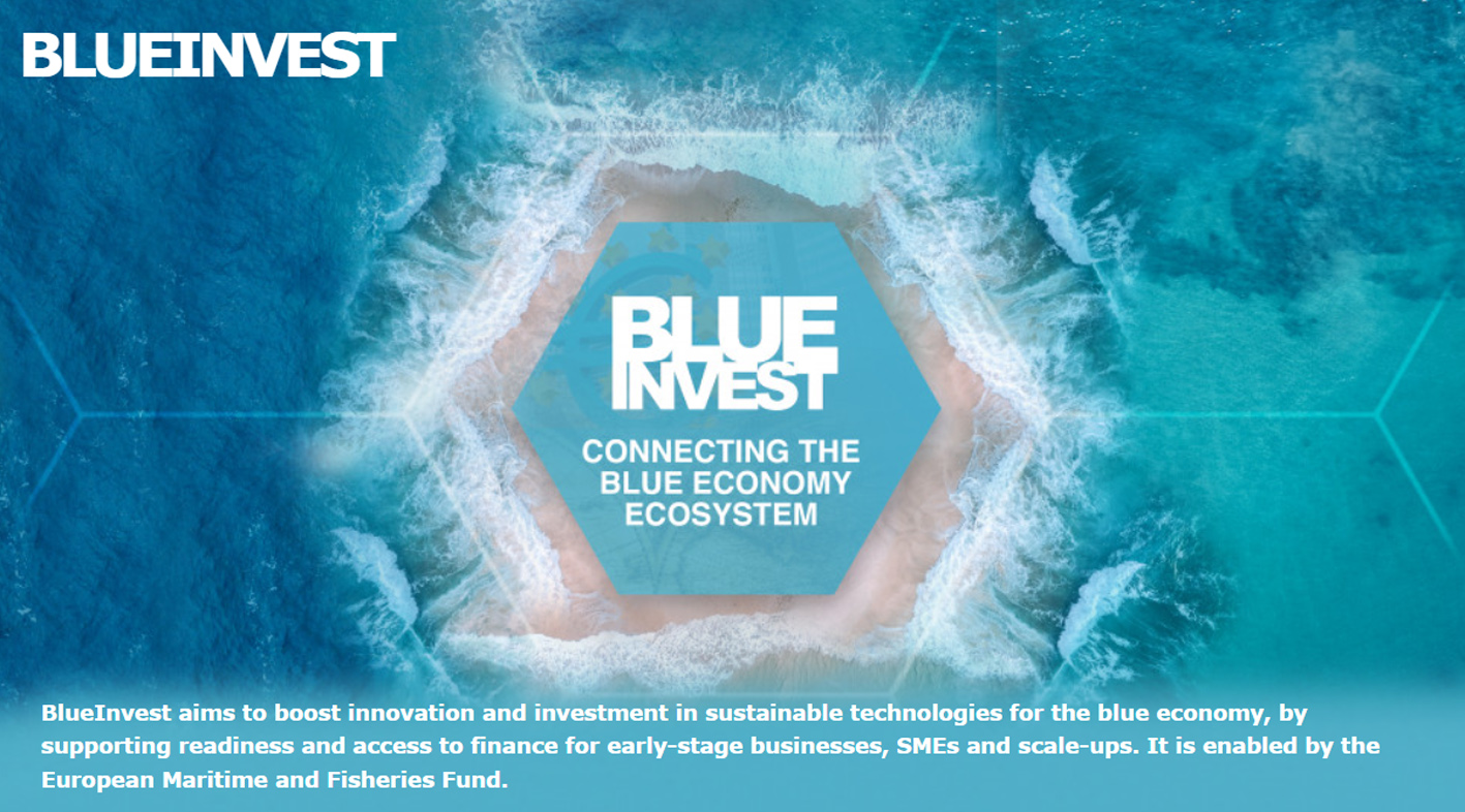
At the BlueInvest Days 2022 in Brussels, Commissioner Virginius Sinkevičius and European Investment Fund (EIF) Deputy Chief Executive, Roger Havenith have announced a new dedicated equity initiative for the blue economy under InvestEU. The initiative will mobilise an additional €500 million of EU funds for financial intermediaries investing in this sector. Commissioner Sinkevičius also announced that the European Commission’s successful BlueInvest initiative will continue beyond 2022 until 2026.
European Commissioner Virginijus Sinkevičius, responsible for Environment, Oceans and Fisheries, praised the achievements of the BlueInvest initiative, which in the past 3 years has been highly successful in terms of getting hundreds of SMEs coached and matched with investors. The initiative has led to a large number of financing deals being signed, has strengthened the investment landscape for the blue economy, increased investor awareness and helped bridge the finance gap for blue technology SMEs and start-ups.
HAPPY BIRTHDAY TO US: CCMS TURNS 4!
It's our 4th Birthday today and what a 4 years it has been! 9 of March 2018 was the day the Center for Coastal and Marine Studies (CCMS) was officially established. We have accomplished so much, but the best is yet to come!
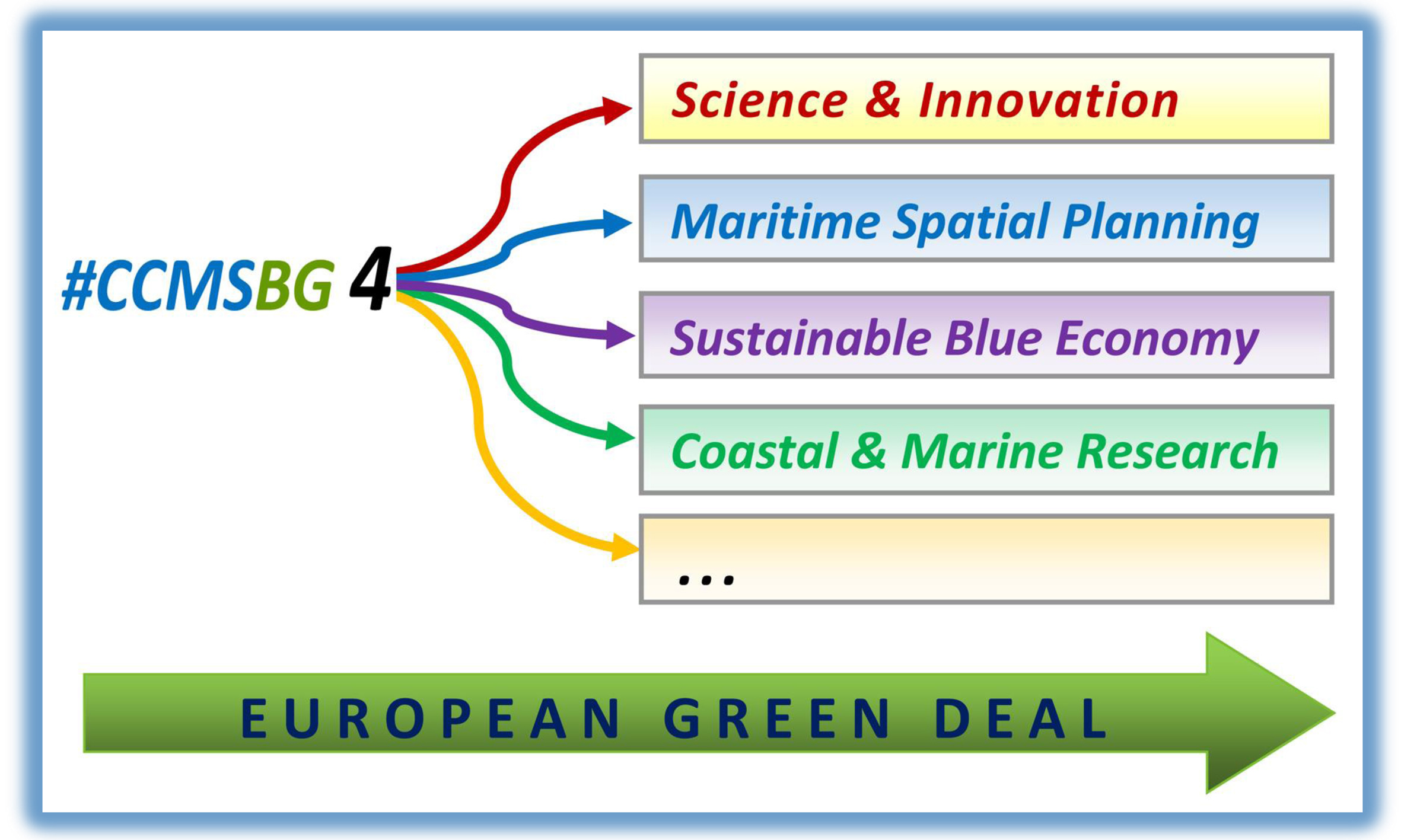
CCMS was born with the fundamental goal of developing and promoting science, research, knowledge transfer, and innovation technologies in the Black Sea and in the World Ocean by bringing together science, environment, expertise, stakeholders and policy making.
Our activities comprise a vast range of coastal and marine research (studies and surveys in the field of modern coastal and marine processes), as well as support to the implementation of the EU coastal and maritime Strategies and Directives (MSP, ICZM, Blue and Circular Economy, Blue Growth, European Green Deal, etc.), by developing scientific basis and providing knowledge and expertise, project participation, networking and consultancy.